
Gardom Bench Map information
Statistics
| Scale | 1:15,000 |
|---|---|
| Map standard | ISOM2017 |
| Events on map | 5 |
Notes
5 Meter contours, 1:10000 layout, letter sized paper. Map file currently includes a 1:10000 layout for the southern access off of Grange Road.
PRODUCTION AND REVISIONS:
This is a computer generated map - not fieldchecked! Trails, Roads and Powerlines are hand-traced from Orthos, and Hillshades. Contours, Cliffs, and Vegetation solely computer generated, with some partial hand drafting of some contours and cliffs in 2024.
David Bakker (2020) in Open Orienteering Mapper 0.9.2.
LAND OWNERSHIP:
Crown provincial land. Borders a section owned by the Legion on the north-east, Gardom Lake Bible camp on the North West (has a separate, not to standard old map that needs updating), and several private parcels on all remaining sides. Map is almost all in the CSRD, but small portion on the eastern side is in the RDNO. Not a numbered rec site, not a park.
DATA AGREEMENTS:
- Originally from data from the OBWB, but then made public so under the Open Government BC Licence.
MAJOR EVENTS:
None.SAFETY BEARING:
Safety Bearing: East to road under powerlines.
CELL PHONE COVERAGE:
- Telus/Koodoo/Public Mobile/Bell/Virgin - Good (most or all of the map, some sections not tested)
- Rogers - Not Tested
UNIQUE SAFETY CONCERNS:
- One large cliff on west edge of map
- Bears
- Barbed Wire Fences - including old rotting out fences through the map area.
EMERGENCY INFORMATION:
- Nearest Hospital: Shuswap General Hospital
- Shuswap Volunteer Search And Rescue: Call 911
- RCMP: Call 911
PARKING CO-ORDINATES:
- Northern Layout: parking at end of Glenmarry Road: 50.603856 N, 119.181601 W
- Southern Layout: parking at end of Grange Road: 50.579772 N, 119.193379 W
PICTURE TAKEN BY SAGE ON MAP:
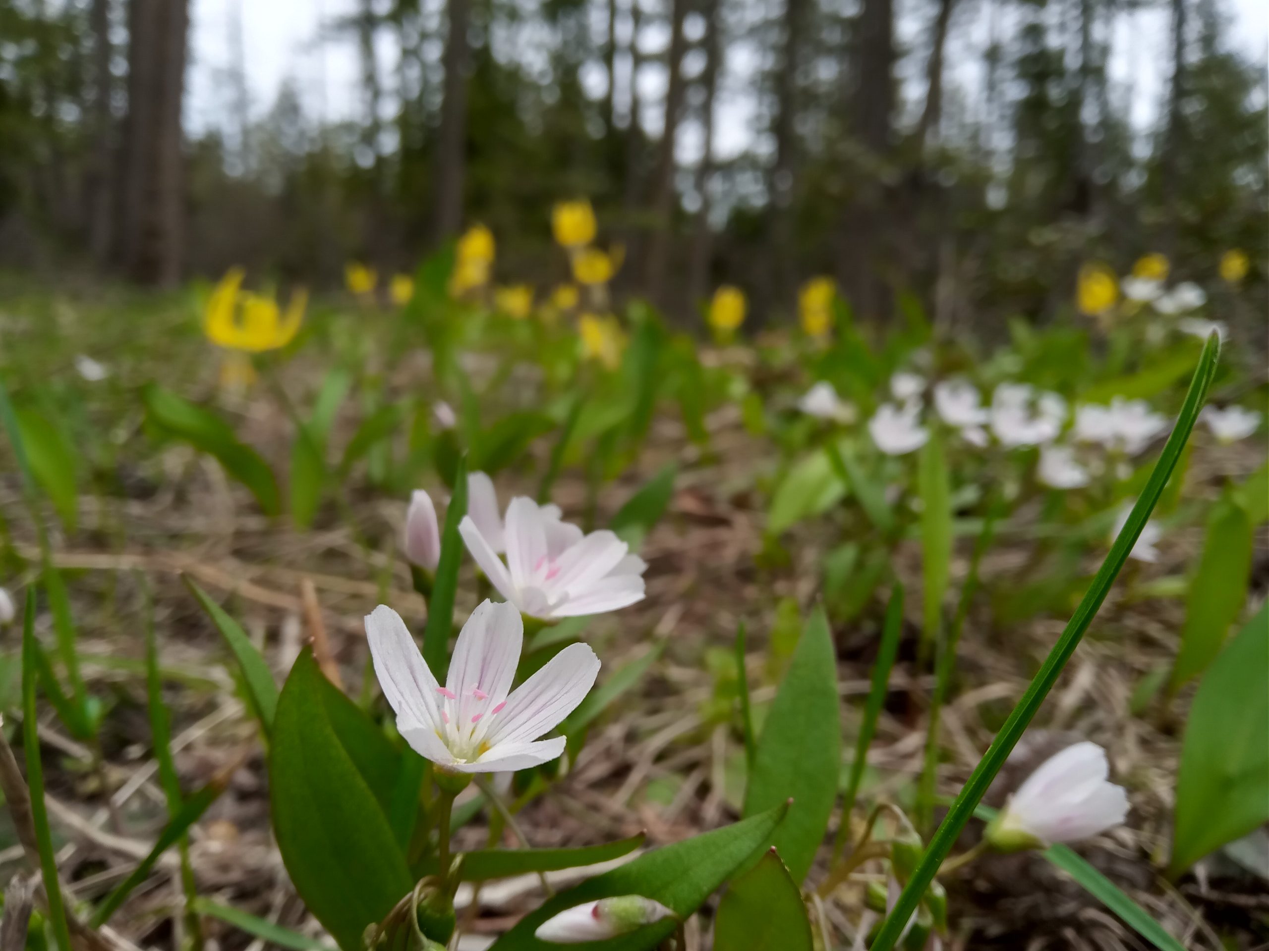
Map image
Events on this map
| Series | Date |
|---|---|
| Gardom Bench (SA) | May 8, 2020 |
| Gardom Bench South (SA) | Jul 22, 2020 |
| Gardom Bench - Self-Directed Training (SA) | May 18, 2024 |
| Gardom Bench South - Self-Directed Training (SA) | Jul 20, 2024 |
| Gardom Bench (Self-Directed Training) (SA) | Apr 20, 2025 |