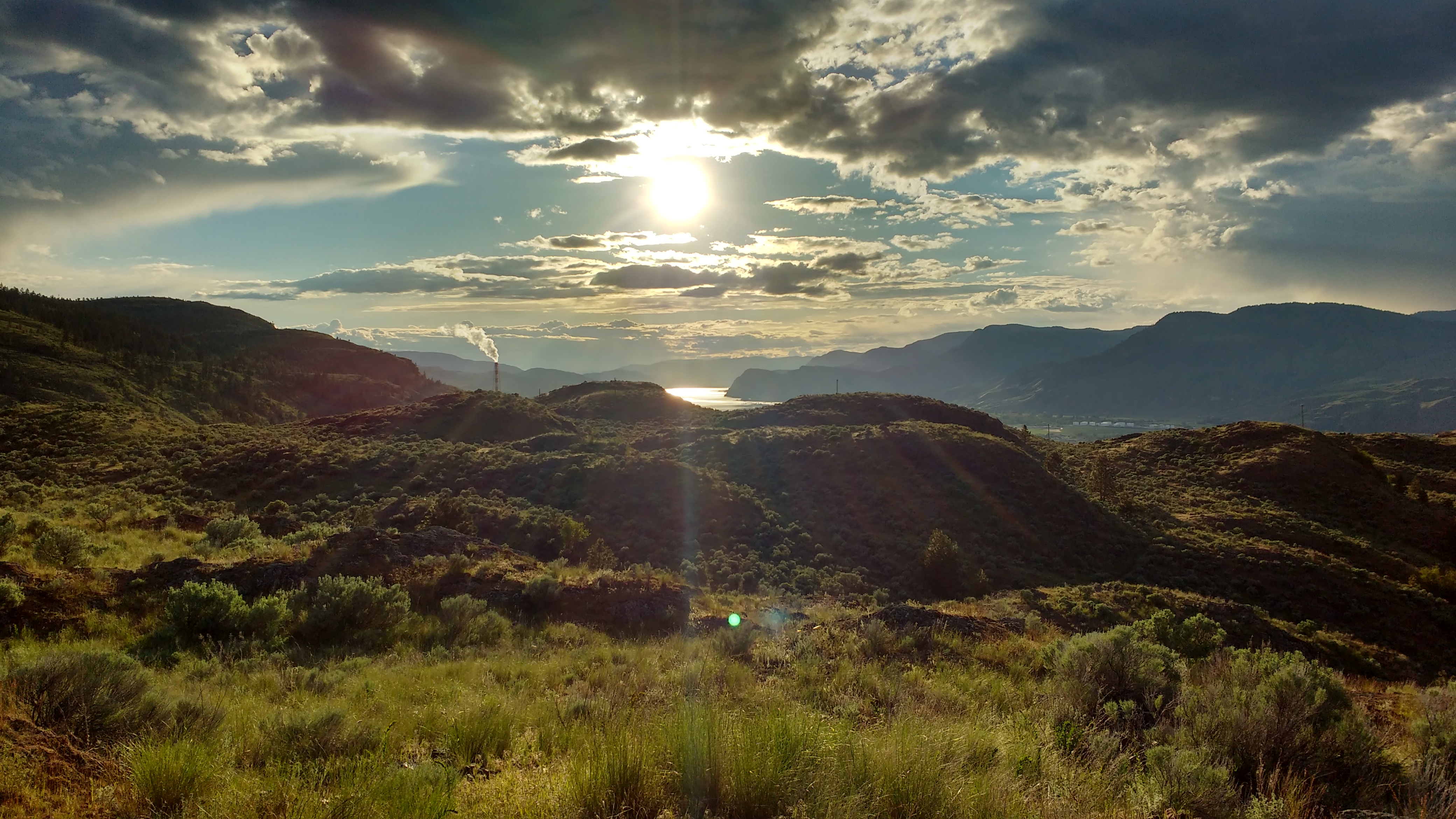
Bunker Bench Map information
Statistics
| Scale | 1:10,000 |
|---|---|
| Map standard | ISOM2000 |
| Events on map | 4 |
Notes
YOU PROBABLY DO NOT WANT TO USE THIS MAP, USE THE MORE UP TO DATE SPRINT MAP (1:5000) VERSION.
This is the ISOM2000 version of the map. There is also a slightly smaller and newer Sprint Map version of the area.
------
1:10,000; 5m contours
PRODUCTION AND REVISIONS:
City of Kamlopos base map; first map Jan Samuelsson 1989; many subsequent revisions and map changes; Digitized in 2000 using OCAD, updated in 2017 by David Bakker and converted to OOMapper & georeferenced & updated vegetation, trails + rock on northern half. Southern part not updated.
LAND OWNERS:
City of Kamloops Park (Kenna Cartwright), with private land on the southern portion.
DATA AGREEMENTS:
None
MAJOR EVENTS:
None
SAFETY BEARING:Safety Bearing: Depending on part of course, either North to Fence, or South to Fence
CELL PHONE COVERAGE:
- Telus/Koodoo/Public Mobile/Bell/Virgin - Excellent
- Rogers - Not Tested
UNIQUE SAFETY CONCERNS:
- Some Prickly Cactus Out on the Map
- Large Cliffs on North Side of Map
- Track and Field Throwing Facility near parking
EMERGENCY INFORMATION:
- Nearest Hospital: Royal Inland Hospital (Kamloops) ~ 10 minutes from arena.
- Kamloops Search and Rescue: Call 911
- RCMP: Call 911
FINISH/PARKING CO-ORDINATES:
- Kenna Cartwright Park - Bunker Road Parking: 50.675060, -120.381896

Map image
Events on this map
| Series | Date |
|---|---|
| Bunker Bench - Learn to O (Kam) | May 17, 2017 |
| Bunker Bench (Kam) | May 30, 2018 |
| Bunker Bench (Kam) | May 23, 2020 |
| Bunker Bench (Kam) | Jun 6, 2021 |
