Bunker Bench Sprint Map Map information
Statistics
| Scale | 1:5,000 |
|---|---|
| Map standard | ISSprOM |
| Events on map | 2 |
Notes
1:5,000; 2m contours
PRODUCTION AND REVISIONS:
Basemap: City of Kamloops Open Data. Using pre-processed LiDAR based 1m contours.
Made in 2018 with OpenOrienteeringMapper 0.8.1 by David Bakker.
LAND OWNERS:
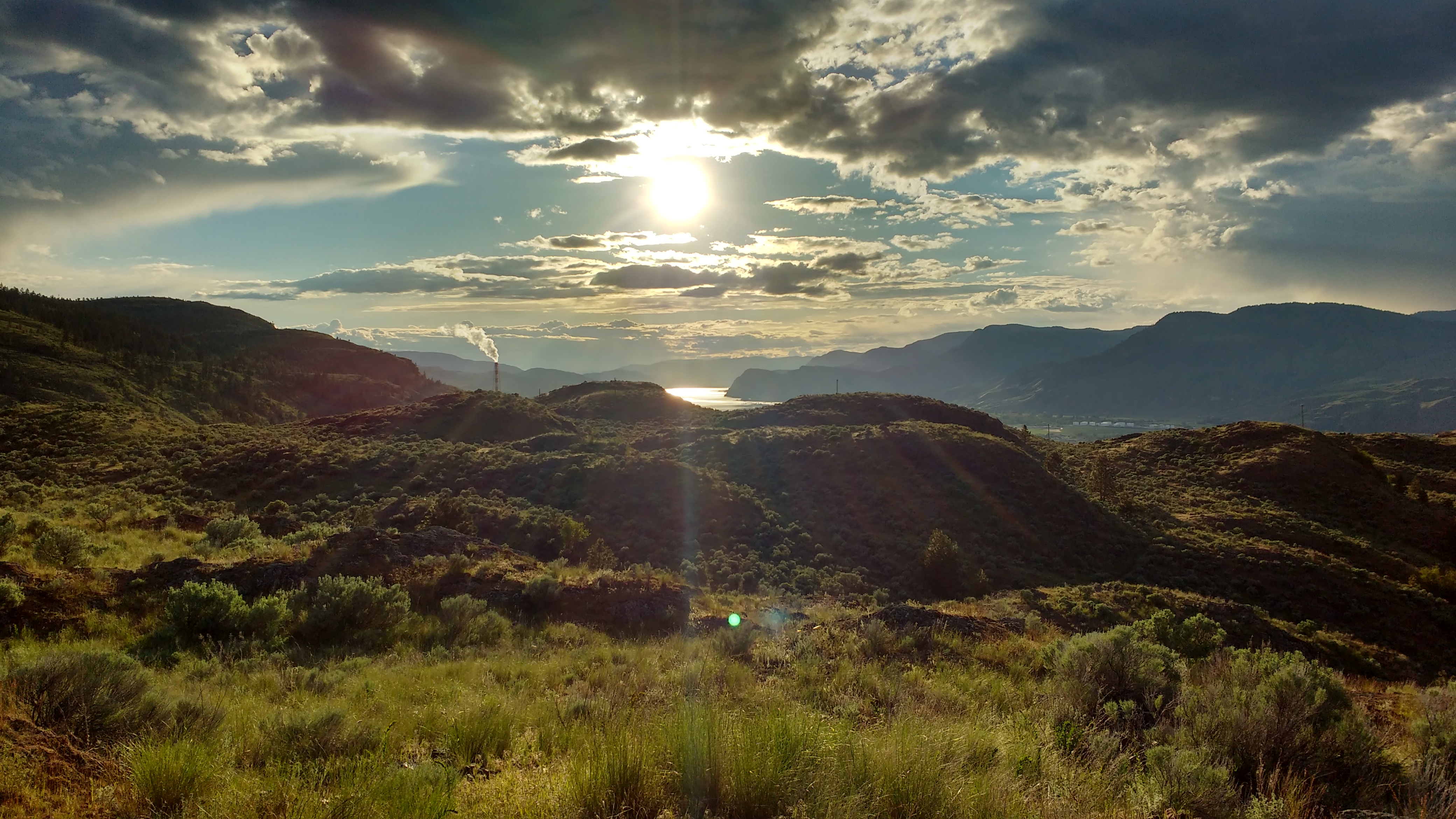
City of Kamloops - Kenna Cartwright Park
DATA AGREEMENTS:
- Open Government Licence - Kamloops
- We are obligated to keep the text "Contains information licensed under the Open Government Licence - Kamloops." on the printed map
MAJOR EVENTS:
Sage Stomp 2018
SAFETY BEARING:
Safety Bearing: Depending on part of course, either North to Fence, or South to Fence
CELL PHONE COVERAGE:
- Telus/Koodoo/Public Mobile/Bell/Virgin - Excellent
- Rogers - Not Tested
UNIQUE SAFETY CONCERNS:
- Some Prickly Cactus Out on the Map
- Large Cliffs on North Side of Map
- Track and Field Throwing Facility near parking
EMERGENCY INFORMATION:
- Nearest Hospital: Royal Inland Hospital (Kamloops) ~ 10 minutes
- Kamloops Search and Rescue: Call 911
- RCMP: Call 911
FINISH/PARKING CO-ORDINATES:
- Kenna Cartwright Park - Bunker Road Parking: 50.675060, -120.381896

Map image
Events on this map
| Series | Date |
|---|---|
| CANCELLED - Bunker Bench (Kam) | Sep 19, 2018 |
| Bunker Bench Self-Directed Training (Kam) | May 31, 2024 |
