
Sage Stomp XL Kelowna
June 7th 2025 8:00am - June 8th 2025 2:00pm
Organizers: Kevin Matrosovs (Event Director), David Bakker (Course Planner), Brian May (Course Planner), Stan Woods (Controller), JP Buysschaert (Controller), Kevin Matrosovs (Controller), Phil Wallensteen (Assistant), Jonathan Bakker (Assistant), Chris Ford (Assistant), Alan Corbett (Assistant), Susan Chartrand (Assistant), John Rance (Assistant)
Map: Kelowna Nordic
Post-Event
Results
- Middle (on Attackpoint)
- Mass Start (on Winsplits)
- Long (on Attackpoint)
Maps
All maps are posted on the Sage Nextcloud
Livelox
If you want to check out your GPS track on the map, upload your GPS track to the events on Livelox (or connect your Strava account). Thanks to Boris from GrizO for getting Livelox set up for us! Here's to hoping that Orienteering Canada buys a national subscription so that we can see all the tracks at the same time!
Updates
- June 5:
- Start lists for all events posted. Changes can be made at registration on Saturday morning - arrive early and we will do our best to accommodate your needs.
- Clarified Mass Start Course Options
- June 2:
- The current weather forecast is for hot and sunny. It can still be cold overnight and in the morning.
- Please bring lots of water, sport drink and/or electrolytes and your own bottles and/or cups. We will supply a lot of water and cups for those who need them, but your assistance will help us and the environment out.
- There are lots of mosquitoes are out. Consider bringing bug spray, or don't stand still on your course!
- Added Check-In / Package Pick-Up information -- this opens Saturday morning at 08:00 in the Kelowna Nordic Main Lodge
- Updated course details for Middle, Mass Start and Long with final information, including climb & course planners notes
- Added description and map link to Long event parking
- Added Punching & Time Keeping, Bibs, Start Lists, and Start Procedure sections
- Added Hazards, Competitor Risk & Responsibility, Clothing & Shoes, Dogs, and Medical & Emergency sections
- The current weather forecast is for hot and sunny. It can still be cold overnight and in the morning.
Start Lists
Last updated June 5 @17:15
Middle
Mass Start
This event has an open start window from 13:00 to 13:45 (you choose when to start) for the Beginner and Intermediate courses, while the Advanced course has a mass start at 14:00.
Long
Overview
The 40th Sage Stomp will take place near Kelowna in the Kelowna Nordic and Thunder Mountain terrain that was used for the 2023 Western Canadian Orienteering Championships. The Middle and Long are sanctioned Canada Cup events! The Training event will be a fun mass start, roughly middle, distance event. Take it easy or go head-to-head as hard as you like!
If you missed it last time or would like to enjoy this spectacular orienteering terrain again, mark this weekend in your calendar.
Check-In / Package Pick-Up
Event check-in and package pick-up will be at the registration desk at the Event Arena before each event. Almost everyone will do this before their start at the Saturday morning Middle event.
Check-In will open Saturday morning in the Kelowna Nordic Main Lodge at 08:00. If you have an early start on an Advanced, Expert or Elite course for the Middle, check-in early to make sure that you have enough time to walk to Start 2.
The package will contain bibs and any borrowed SI sticks. Borrowed SI sticks must be returned at the Finish of your last event, or at the registration desk if you do not run your last registered event.
Program
- Saturday Morning (June 7): Canada Cup Middle – Kelowna Nordic
- Saturday Afternoon (June 7): Mass Start Race – Kelowna Nordic
- Sunday (June 8): Canada Cup Long – Thunder Mountain
Saturday Morning: Middle
A middle distance point to point orienteering event with course planning built around driving highly technical map reading on one of the best pieces of middle terrain in western Canada.
Parking
Kelowna Nordic main lodge parking lot.
https://maps.app.goo.gl/MmSZKVZNMoFZBsJK7
Arena / Registration / Finish
Immediately adjacent to the parking lot. We have access to the Kelowna Nordic lodge to keep you warm and dry (and out of the bugs!).
Toilets
There will be port-a-potties in the Parking lot by the Arena. Please use the port-a-potties at the event arena and not the outhouses.
Starts
Start 1 - Courses 1-3 (Beginner, Novice, Intermediate)
- Distance: Right beside the Kelowna Nordic Lodge (~15 m)
- Climb: 0 m
- Walking Time: 0 min
- Flagged route from timed start to start triangle: 70m - you must follow the flagging to the start triangle.
- Bag/Coat Drop: None
Start 2 - Courses 4-7 (Advanced, Expert, Elite)
- Distance to Start: 2.1 km on double and single track.
- Climb: 20 m
- Walking Time: Allow 25-30 minutes. There is no port-a-potty at Start 2 or along the walk to it.
- Flagged route from timed start to start triangle: 70m - you must follow the flagging to the start triangle.
- Bag/Coat Drop: None
Schedule
Date: Saturday, June 7 - Morning
- Check-In Opens: 08:00
- Start Window: 09:00 - 10:30
- Start times will be assigned and posted on June 4 or 5.
- Time Limit: 2 hours
- Course Close: 12:30
Course Details
This is a Canada Cup event with skills based courses. We are planning the following courses:
|
Middle |
Name |
TD |
Length (km) |
Climb (m) |
Scale |
|
1 |
Beginner |
1 |
1.8 |
40 |
7500 |
|
2 |
Novice |
2 |
2.2 |
65 |
7500 |
|
3 |
Intermediate |
3 |
2.4 |
70 |
10000 |
|
4 |
Advanced |
4 |
2.2 |
60 |
7500 |
|
5 |
Expert |
5 |
3.2 |
100 |
7500 |
|
6 |
Elite 1 |
5 |
4.1 |
130 |
10000 |
|
7 |
Elite 2 |
5 |
4.6 |
165 |
10000 |
Course Planners Notes
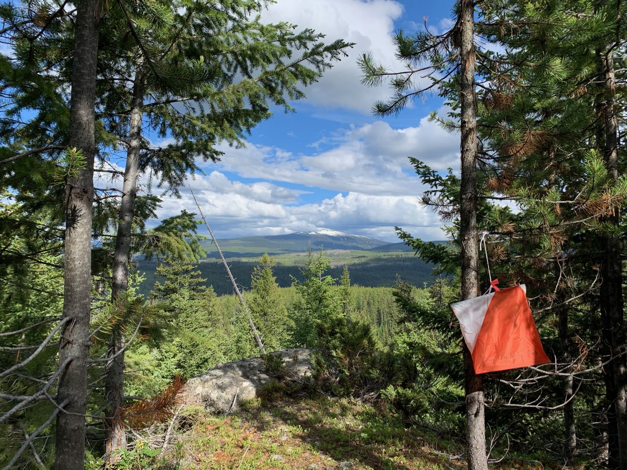
Welcome back to Kelowna Nordic and the (almost) deadfall free forest! We have had a great time expanding the map and setting new challenges to maximize dopamine hits when you find controls in this spectacular terrain.
Courses are designed to push your map reading and navigational limits while still being designed to maximize enjoyment. If you are struggling with your first few controls - persevere. The forest opens up and gets faster throughout the race, with terrain types changing several times during the race. To excel, orienteers will need to adjust their running speed to match the technically of each leg - some are deceptively easy if you find the right plan, others require your absolute attention throughout.
Marshes are fairly full, but are running slightly lower than during 2023's WCOCs event. Only rocks larger than ~1m are mapped - you will encounter unmapped rocks smaller than this.
There are no water stops available on course.
Organizing Team
- Course Planner: David Bakker
- Controller: Stan Woods
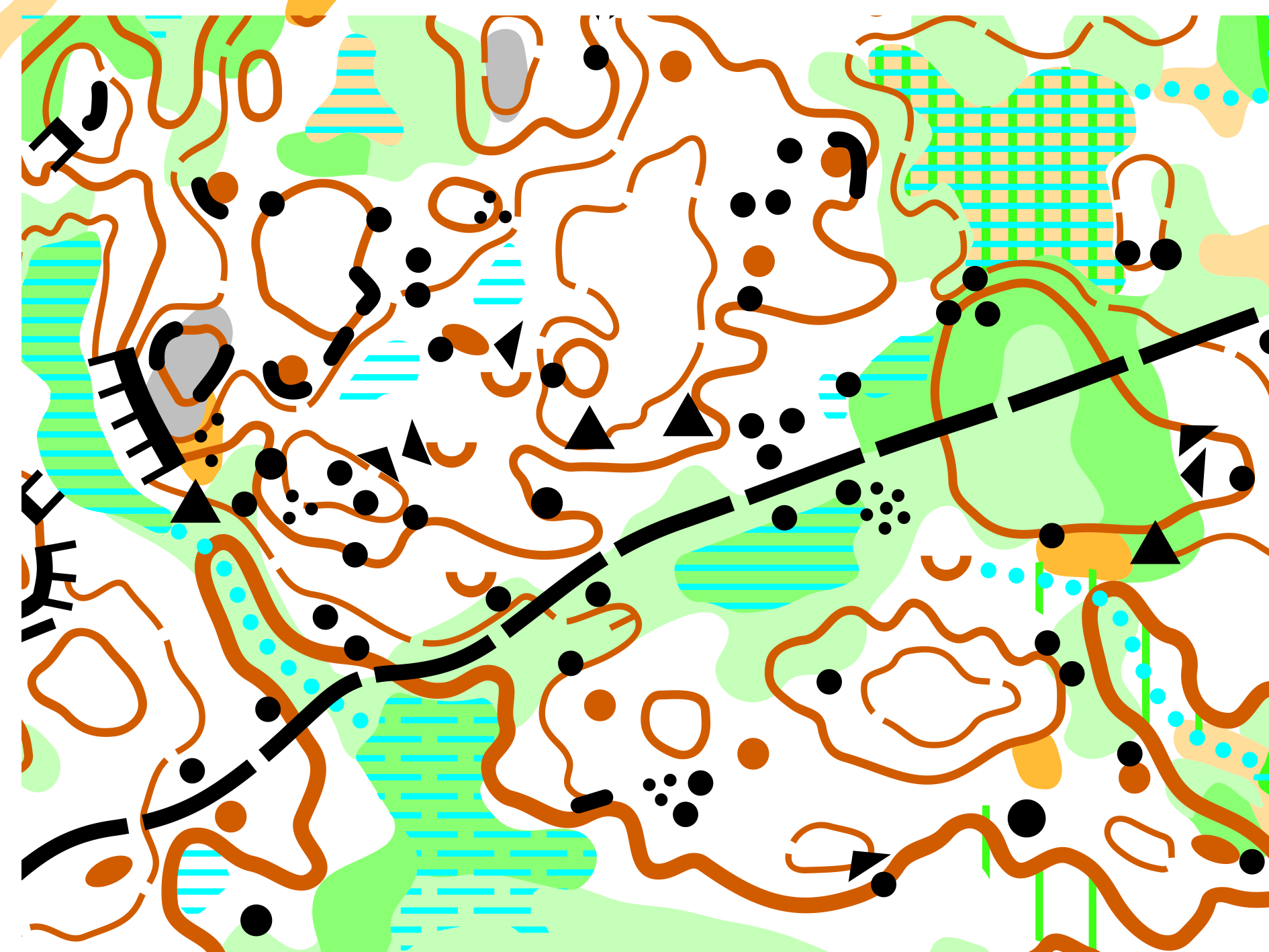
Map: Kelowna Nordic
- Mapper: David Bakker (2022, expansion in 2\024-2025 that almost doubled the map area. Minor updates to original area as needed.)
- Specification: ISOM2017-2
- Contours: 5 m
Generally flat terrain (for the west coast) with terrain undulations of around 20 meters. Small portions are in recent clearcuts, but the majority of the map is in 40 year old mono-culture lodgepole pine forest. This vegetation type makes for excellent runnability, no deadfall, and limited visibility as the low branches of the pine trees are rarely more than 8 feet off the ground. A medium to low density trail network, widespread marshes, scattered boulders, and a mix of detailed and broader contour features complement the vegetation perfectly.
3D Flyover
Saturday Afternoon: Mass Start
A fun mass start race. With the same parking, arena, etc. as the middle event in the morning.
Parking
Same location as the Saturday Morning Middle, at the Kelowna Nordic main lodge parking lot.
https://maps.app.goo.gl/MmSZKVZNMoFZBsJK7
Arena / Registration / Finish
Immediately adjacent to the parking lot. We have access to the Kelowna Nordic lodge to keep you warm and dry (and out of the bugs!).
Toilets
There will be port-a-potties in the Parking lot by the Arena. Please use the port-a-potties at the event arena and not the outhouses.
Start
- Distance: Right beside the Kelowna Nordic Lodge (~15 m)
- Climb: 0 m
- Walking Time: 0 min
- Flagged route from timed start to start triangle: 75 m - you must follow the flagging to the start triangle
Schedule
Date: Saturday, June 7 - Afternoon
- Open Start Window: 13:00 - 13:45 [Beginner & Intermediate Courses]
- Mass Start: 14:00 [Advanced Course]
- Time Limit: 2.5 hours
- Course Close: 16:30
Course Details
This is a mass start middle-classic distance event with skills based courses. We are planning the following courses:
Mass Start | Name | TD | Length (km) | Climb (m) | Scale |
1 | Beginner | 2 | 1.8 | 40 | 7500 |
2 | Intermediate | 3 | 2.0 | 75 | 7500 |
3 | Advanced | 4-5 | 4.7 Shortcuts: 3.6 or 2.5 | 150 | 7500 / 10000 |
Course Planner's Notes
Enjoy some fast, fun head-to-head racing up at Kelowna Nordic! We've cooked up courses to maximum fun and minimize pain (running through marshes should be optional, you can choose to keep dry feet if you want to). The courses feature a mixture of open forest and easy running clearcuts with some forkings and long routechoices to break up the pack. There is a water stop out on course (intermediate and advanced courses only) about half way through. Be sure to follow the control sequence on your map - you might be going somewhere different than the person next to you!
Because the advanced course has such a wide range of participants, you may choose to skip one or two of the butterflies and still have a valid finish as a "Short Advanced" finisher. Everyone gets the same map at the start (although you pick your scale of 1:7500 or 1:1000 - everything on the map is the same either way, but you can decide while out on course if you want to skip butterfly loops or not.
Organizing Team
- Course Planner: David Bakker
- Controller: Kevin Matrosovs
Map: Kelowna Nordic
- Mapper: David Bakker (2022, expansion in 2024-2025 that almost doubled the map area. Minor updates to original area as needed.)
- Specification: ISOM2017-2
- Contours: 5 m
Sunday Morning: Long
A long distance point to point orienteering event with course planning built around route choices through the beautiful lodgepole pine forest.
Parking
Along the North side of Kallis Creek FSR. We MUST NOT block this service road, so please park only along the north side and make sure to leave room for vehicles to pass.
Please carpool as much as possible to this event.
Be very careful turning from highway 33 onto Kallis Creek FSR. Left-hand turns here can be dangerous. If coming from the South (such as the Kelowna Nordic main lodge or nearby campgrounds), go beyond the intersection to Big White Road, turn around, and then make a right-hand turn onto Kallis Creek FSR.
The following map link shows the location of the Arena, which is roughly 2 km from Highway 33. Parking is along Kallis Creek FSR before the Arena.
https://maps.app.goo.gl/
Arena / Registration / Finish
Immediately adjacent to the parking. The walk from your vehicle to the Arena will depend on how far back in the parking line you are.
Toilets
There will be port-a-potties by the Arena.
Start
- Distance: 900 m on forestry service road
- Climb: 25 m
- Walking Time: Allow 15 minutes. There is no port-a-potty at the Start or along the walk to it.
Schedule
Date: Sunday, June 8
- Check-In Opens: 08:00
- Start Window: 09:00 - 10:30
- Start times will be assigned and posted on June 4 or 5.
- Time Limit: 3 hours
- Course Close: 13:30
Course Details
This is a Canada Cup event with skills based courses. We are planning the following courses:
Long | Name | TD | Length (km) | Climb (m) | Scale |
1 | Beginner | 1 | 2.2 | 35 | 7500 |
2 | Novice | 2 | 2.8 | 100 | 7500 |
3 | Intermediate | 3 | 4.2 | 175 | 10000 |
4 | Advanced | 4 | 3.0 | 115 | 7500 |
5 | Expert | 5 | 5.1 | 180 | 7500 |
6 | Elite 1 | 5 | 7.5 | 275 | 10000 / 15000 |
7 | Elite 2 | 5 | 9.9 | 345 | 10000 / 15000 |
Course details are subject to change during course finalization.
Course Planner's Notes
We’ve enjoyed planning these courses and certainly hope that you have some fun challenges in the forest.
The courses feature a mixture of long route-choice legs and shorter more technical legs. The advanced courses all have technical terrain near the finish, so you will need to focus all the way to the end. Like all maps, this one is an approximation to the terrain and has some minor imperfections (e.g., a missing boulder here or there). A successful orienteer will use a variety of skills and will not rely on a single type of feature to navigate. Large trails are wide ski trails.
Small indistinct trails are either game trails or showshoe trails – in either case, they are intermittent and may be challenging to follow in the terrain. Rides (thin, long-dash symbol) are old skid tracks that are apparent in the terrain (as land forms). However, they don’t always offer good running. In particular, a ride through green will not offer good running at all!
Water is available at controls roughly each 2 km. Each water stop has enough water for 250 mL (one cup) per person, do not waste water and be sure to drink from a cup (not from the jug).
Organizing Team
- Course Planner: Brian May
- Controller: JP Buysschaert
- Controller Mentor: Andrée Powers
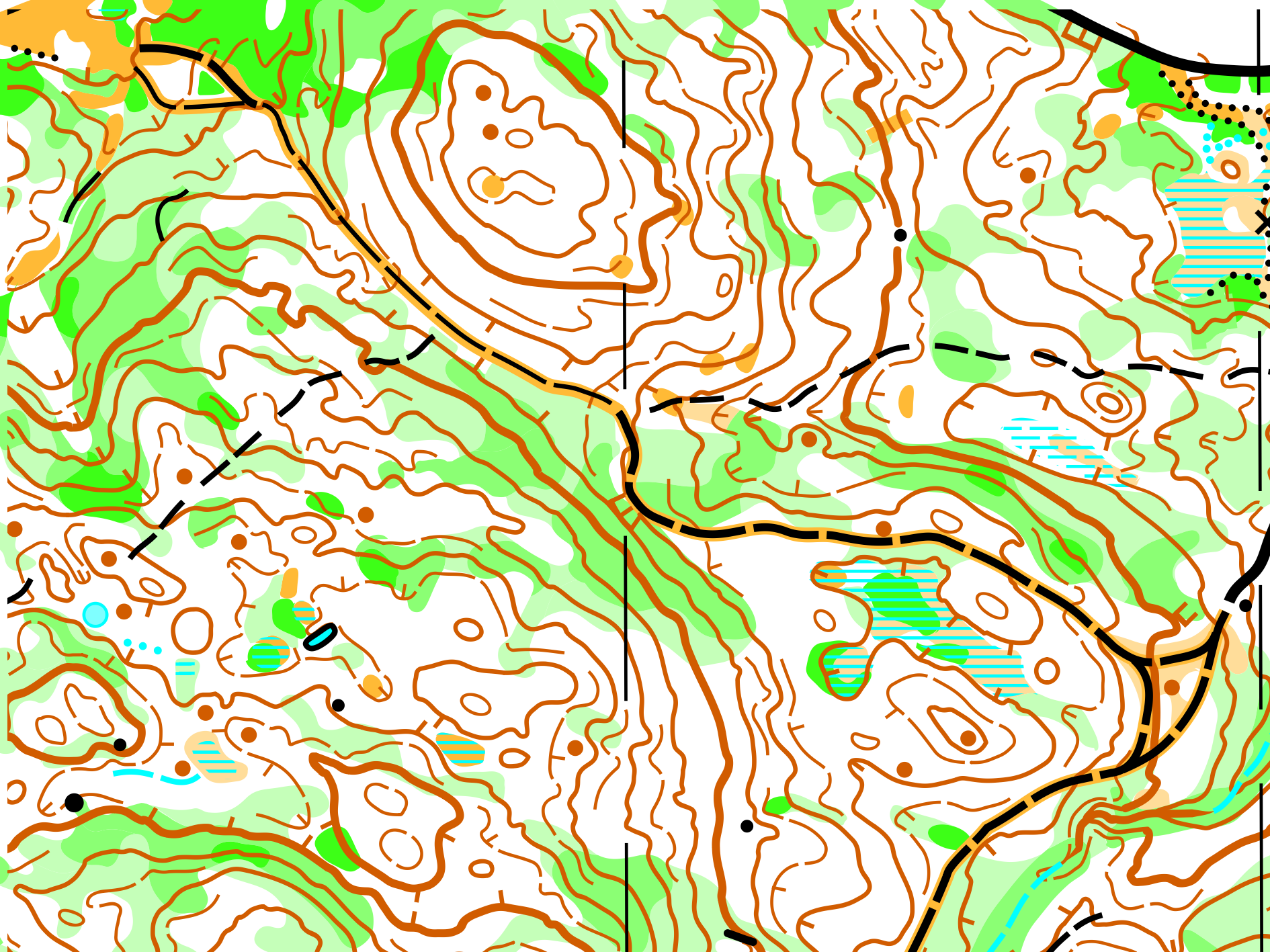
Map: Thunder Mountain
- Mapper: Bryan Chubb (2021-2022). If you were on the this map back at Westerns in 2022, we will be on some areas where none of the courses got to last year, along with some of other areas of the best terrain that we will return to.
- Specification: ISOM2017-2
- Contours: 5 m
This map features hillier terrain with larger contour features and small pockets of contour detail. The vegetation is very similar to Kelowna Nordic Core, but there are sections of very dense forest in otherwise highly runnable, white forest with no deadfall. Combined with the low density trail network, these topographical and vegetation features drive challenging route choice decisions perfect for the ultimate long distance orienteering race.
3D Flyover
Logistics
Punching & Time-Keeping
SI punching and time-keeping will be used for all events. SI Air is enabled on each control.
The SI card number that you provided with your registration has been entered into the computer system, and appears on your bib. If, for any reason you will be using a different SI-card from that shown on your entry, you must notify the registration desk at the Event Arena of the new number.
All borrowed SI sticks must be returned at the Finish download table at your last competition, or to the Registration desk at the Event Arena if you do not run your last registered event. If you fail to return your borrowed SI stick, you must pay the fee for lost SI sticks.
Each control is equipped with a control flag and an SI electronic control unit. The control code is located on top of the SI unit. If a control has more than one SI unit, the competitor may punch either unit.
Bibs
Competitors are assigned one bib for all events which can be picked up at the Registration table at the Event Arena before their first event. Each bib will contain the competitor's name and SI number and, for each registered event, their course and assigned start time.
All competitors must wear their bibs on their shirt front during all competitions. Bibs must be visible in their entirety and not folded or cut.
Pinning the bib to your shirt will be much more durable if you put the pins through the punched holes on the bib and do not pierce the bib material directly with the pins.
Competitors are encouraged to bring their own safety pins. For those who do not bring them, safety pins will be available at the Registration table in the Event Arena.
Start Lists
Start lists are available at each Event Arena and at each Start area.
For all classes and all events, starting times are drawn randomly within each class. Organizers may take into consideration requests for split or early or late start times and volunteer requirements.
Start Procedure
While start times are assigned, there will be a Start punch that must be punched when you start. Your time will start when you punch the Start punch.
Emergencies & Hazards
All events take place in a wilderness environment, which may have any of the standard hazards possibly found in such an environment.
Emergency Contact
The Event Director’s mobile number is 778-594-2230 and is printed on each course map.
Emergency Response will be engaged by the Event Director or another event official as necessary.
911 is the Canadian emergency number for ambulance, fire and the Royal Canadian Mounted Police (RCMP). Contact the Event Director or go to the registration table at the Event Arena before you contact 911 from an event site. Ideally, have an event official call so that they can provide directions.
Nearby Facilities
The closest medical facilities are the following:
Kelowna General Hospital
2268 Pandosy St, Kelowna, BC V1Y 1T2
Kelowna Urgent and Primary Care Centre
Capri Centre North Parking lot, 1141 Harvey Ave, Kelowna, BC V1Y 6E8
Animals
The event terrain could contain wildlife such as deer, moose, cougars and bears, among others. Carrying bear spray is a valid option according to your comfort level. If you wish to purchase bear spray in Kelowna, Mountain Equipment Company (MEC) and Atmosphere are options.
Those unfamiliar with bear encounters may wish to read the following page from the Government of Canada: Safe travel in bear country.
It is more likely that you will encounter grouse, which can be startling as they explode out of the bush if you get too close.
Insects
After some rain and now heat, the mosquitoes are out in numbers in the forest. If you’re not going to outrun them, you probably want to have insect repellent. If you’re camping, bring mosquito coils.
Insect repellent could help keep any ticks off you as well.
We have not had any issues with wasps or bees, but you may encounter some nonetheless. If you are allergic to wasp or bee stings, make sure to bring your medication with you on the course.
Plants
We have not noticed any issues with thorny or poisonous plants, but some might be hiding somewhere.
The pine trees are dense enough and have small dead branches at eye level so that eye protection is recommended, especially if you are running fast.
Weather
The current weekend weather forecast is for nothing but sun and daytime highs of 28C-32C (82F-90F) in Kelowna! The event locations are significantly higher and typically 5-7 degrees C (9-13 degrees F) cooler than Kelowna, meaning daytime highs of up to 27C (80F) on location. The mornings will start cool but it will quickly warm up.
Bring fluids and electrolytes and stay hydrated!
Please plan to bring a lot of your own water, sport drink and electrolytes. We will have a lot in the Event Arenas as well as some at the Starts and at water drops on the Long courses, but if you plan to bring a lot for yourself that will help with pressure on our supplies at the Event Arenas.
Bring and use sunscreen!
While it looks unlikely at this time, always be prepared for cooler temperatures and rain, just in case and especially if you are camping. Forecast night time lows may reach 5C (41F) or lower.
Competitor Risk & Responsibility
All competitors must have signed the waiver before they participate. Everyone who registered online will have done this.
Please bring your own basic first aid kit and sports tape.
Open fires and smoking are prohibited in all event areas.
Every competitor must carry a whistle while on course. Whistles will be for sale at the registration desk at the Event Arena for $2.00 cash. The recognized distress signal is a series of three short blasts on a whistle. Use your whistle if you need urgent help because of an injury or distress. Pause and listen for reply and repeat to allow helpers to locate you. If you are injured, but still mobile, an alternative might be to make your way to the nearest control so that it is easier to locate you. Competitors are expected to render assistance to anyone who is injured, has blown their whistle, and requires physical assistance. Please give help as needed, and make event officials aware of the issue.
All maps/control descriptions have a “safety bearing” printed on them. In the event of becoming lost, head in that direction, ideally to a major trail, road or the Event Arena.
To avoid initiating unnecessary searches, competitors MUST download at the Finish download station even if they do not complete their course.
In the event of an emergency, competitors are required to follow the directions of the Event Director or Emergency Response personnel.
Clothing & Shoes
There is no regulation requiring specific clothing, but full leg cover is recommended for all events.
Standard forest orienteering shoes, with or without metal tipped studs, as per personal preference, are recommended. Grippy trail shoes are another option.
Eye protection is a personal choice but is recommended. While there is very little deadfall, the pine trees have small dead branches at eye level and are often fairly close together.
Dogs
Dogs are prohibited from the courses and Event Arenas.
Registration
Registration is closed and the event has happened. Check out the Results!
Entry Fees
Fees are on a per-event basis.
- Middle: $30 / adult; $10 / junior
- Mass Start: $30 / adult; $10 / junior
- Long: $30 / adult; $10 / junior
SI Air will be used for all events, but old SI cards will also work. If you do not have your own timing chip, rentals are available as you register for the event.
Local Information
Getting Here
Kelowna is served by Kelowna International Airport (YLW), to which there are direct flights from a number of nearby hubs, including Vancouver (YVR), Victoria (YYJ), Calgary (YYC), Edmonton (YEG) and Seattle (SEA).
Kelowna is roughly 4 hours of scenic driving from Vancouver and 7 hours of spectacular driving from Calgary.
The event sites are at 2 locations in the terrain of the Kelowna Nordic Ski & Snowshoe Club, roughly 45 minutes of driving on Highway 33 east from downtown Kelowna.
Accommodation
Camping
Camping is NOT ALLOWED in the parking lot or event arena at any of the event locations. See below for several nearby campgrounds that are very inexpensive.
No open campfires outside of designated, government-approved campground fire pits!
There is no drinking water supply at any of these campgrounds. Please bring your own.
Hydraulic Lake Recreation Site & McCulloch Reservoir Recreation Site
These are 2 Recreation Sites and Trails BC (RSTBC) campgrounds close together and very near to the event sites. These cannot be booked in advance and are first-come-first-served, but we expect that the event weekend will not be too busy.
Fees for these 2 RSTBC campgrounds are $18 per party per night, or $9 per party of seniors (65+) per night. A party is considered to be 1 to 6 people who generally reside at the same address. There is generally 1 vehicle per party, though a fee can be paid for an extra vehicle. As long as a campsite has the space, more than 1 party can occupy a single campsite. Fees are paid in cash on-site or by e-Transfer to the campground operator.
There is Wi-Fi at the Hydraulic Lake campground but not the McCulloch Reservoir campground. It is free for the first 30 minutes and then paid after that. Great for email but probably not Netflix!
These campgrounds are rustic and do not have shower facilities. However, both are on Hydraulic Lake. The water is bracing. It's been a cool spring so far, but there's still time for that to change for race weekend! If you’re driving, maybe bring your standup paddle board…
Campfires are allowed in the designated fire pits.
Hydraulic Lake Recreation Site
- 25 campsites
- http://www.sitesandtrailsbc.ca/search/search-result.aspx?site=REC1672&type=Site
- This is just across from, and walking distance from, the Middle event at the Kelowna Nordic Main Lodge, though there is ample parking at this event location.
McCulloch Reservoir Recreation Site
- 33 campsites
- http://www.sitesandtrailsbc.ca/search/search-result.aspx?site=REC4619&type=Site
- Drive through the Hydraulic Lake campground for another 1.5 km to this campground on the same lake.
Browne Lake Recreation Site
- 5 campsites
- http://www.sitesandtrailsbc.ca/search/search-result.aspx?site=REC1684&type=Site
- This is a smaller, more remote, site on a quiet lake further from the events. Great for fishing! The road to it is a little rough. Camping here is free.
Idabel Lake Private Residences
Privately-owned resort residences on Idabel Lake, which is a roughly 15 minute drive from Kelowna Nordic. Some suites are available to rent on AirBNB or Vrbo.
Additional Options
There may be options in Big White Ski Resort, which is a roughly 30 minute drive from Kelowna Nordic.
There are many options in Kelowna, which is a roughly 45 minute drive from Kelowna Nordic.
Transportation
Public transit does not service the event sites which are roughly 45 minutes from the Kelowna International Airport, so transportation by private vehicle is a must.