
Kelowna Nordic Map information
Statistics
| Scale | 1:15,000 |
|---|---|
| Map standard | ISOM2017 |
| Events on map | 3 |
Notes
5m Contour
1:15000 map file, best printed at 1:10000 or 1:10000.
PRODUCTION AND REVISIONS:
Created in 2022 by David Bakker. Open Orienteering Mapper 0.9.5 fileCreated at 1:15000 but best printed at 1:10000 on a letter sized sheet - that is how the layout file is set up.
LAND OWNERSHIP:
Entirely crown land, but within the Kelowna Nordic Recreation Site - so Rec. Sites and Trails BC (Vernon Office) is relevant permitting office for large events greater than 15 people.
Kelowna Nordic is main stakeholder in the area, need their letter of support for major events.
DATA AGREEMENTS:
Open Government BC Data License (for LiDAR).
MAJOR EVENTS:
WCOC/BCOC 2022
SAFETY BEARING:
Safety Bearing: South to McCulloch Road
CELL PHONE COVERAGE:
- Telus/Koodoo/Public Mobile/Bell/Virgin - Minimal (emergency calls only in parking lot, no service out on the trails except a few pockets of emergency calls only)
- Rogers - Not Tested
UNIQUE SAFETY CONCERNS:
- Wildlife: Bears, Moose, etc.
- Large Marshes
EMERGENCY INFORMATION:
- Nearest Hospital: Kelowna General Hospital (~35 minute drive)
- Central Okanagan Search And Rescue (COSAR): Call 911
- RCMP: Call 911
FINISH/PARKING CO-ORDINATES:
Kelowna Nordic Main Lodge Parking Lot: 49.779434, -119.170843
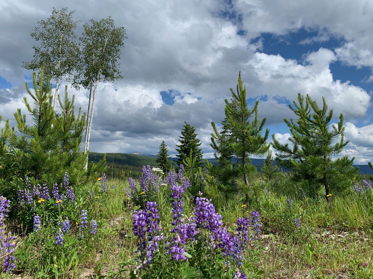
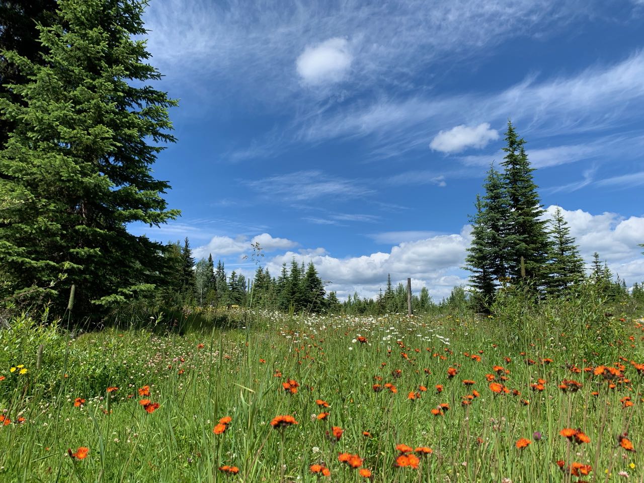
PICTURES TAKEN BY SAGE ON MAP:
Map image
Events on this map
| Series | Date |
|---|---|
| Kelowna Nordic (OK) | Jul 18, 2020 |
| Western Canadian Orienteering Championships (WCOC & BCOC) (OK) | Jun 3, 2023 |
| Sage Stomp XL (OK) | Jun 7, 2025 |