
Griffith Creek Self-Directed Training Revelstoke
June 8th 2024 7:00am - June 16th 2024 4:00pm
Organizer: Alan Honey (Event Director)
Map: Mount Macpherson
Map
This event will take place on the southern part of the MacPherson map.The map is at 1:10,000 scale with contours at 5m intervals.
Registration
Registration is now open on Interpodia 2Mev:
https://2mev.com/#!/events/revelstoke-self-directed-griffith-creek-202406
After registering, you will receive a download link for the course maps.
- The courses will be set up and open at 07:00 on Saturday, June 8th.
- The courses will close at 16:00 on Sunday, June 16th.
- Registration to download maps will close at 13:00 on Sunday, June 16th.
Location & Parking
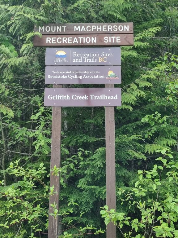
The courses are accessed from the Griiffith Creek Trailhead, which is 5.4km south on Highway 23 from the junction with Highway 1 at Revelstoke. Park in any of the first three parking areas.The start is a few metres south of the entrance track on the Richard Liquer trail, which is just beyond the third parking area and pit toilet.
Courses
- Beginner: 3.0 km – Very easy navigation on trails, suitable for everyone, including families.
- Intermediate: 3.5 km -- Controls off, but near trails with some route choices. Suitable for novice adults with very basic compass skills.
- Advanced: 4.4 km -- Significant off trail controls and routes. Very difficult navigation, suitable for experienced orienteers.
All course lengths are measured on the straight line between controls. Your route will be longer.
Controls will be marked with orange and yellow flagging tape when on or near paths and traditional orange and white orienteering flags elsewhere.
If you have any questions, you can contact the event director by clicking on his name at the top of this page.
Orienteering maps are quite detailed so it is very worthwhile reviewing a map legend to ensure you are using the map to it's full potential. Here is a good resource to check out.
Controls
Controls will be marked with orange and yellow flagging tape when on or near paths and traditional orange and white orienteering flags elsewhere.
Cost
These self-directed events are being offered for free to all Sage Orienteering Club members. In order to participate, EVERYONE in your group must have an active 2024 Sage Orienteering Club membership. If you'd like to contribute financially towards these events consider adding a donation when you sign up for your membership.
Safety
- This is a mountain biking area. Listen out for bikes which may be travelling fast.
- There are natural hazards such as bears and devil's club in the area. Bear spray is advisable.
Helping Out
These events are organized by volunteers. If you can help out with picking up the controls for this event, please let us know at contact@sageorienteering.ca. Thanks!
How it Works
- Register your Sage Orienteering Club membership and for the event (combined registration form, which will prompt you to register for your membership if you haven't yet registered as a member for 2024).
- Download the course maps (as PDFs) from the registration confirmation.
- Print the map, or load the map onto your phone.
- Do the course whenever you want during the time when the event is open. All participants (whether they have a map or not) need to be Sage Orienteering Club members, but it is really, really cheap so invite a friend to come along!