
Postill - Get Outside Training Kelowna
April 16th 2020 10:00am - April 27th 2020 5:00pm
Organizers: Kevin Matrosovs (Event Director), Kevin Matrosovs (Course Planner), David Bakker (Controller)
Map: Lower Postill
Quick Links
Courses are closed.
Upload GPS Track (Get Results)
Description
Due to the exceptional global circumstances at the moment, we will not be having our usual events. Instead, we are setting up trainings that can be completed in your own time, any time, over the coming weeks. For all the trainings we will be hanging some flags in the woods for a few weeks, and individually emailing out maps. You print out the pdf to get your own map (or if you are very careful, keep it on your cellphone) to use.
This map area is forested with trails that are used by ATV users. Parking is not in a defined lot, but there are several good pullouts on the edge of the FSR that are suitable for parking. For those of you who attended the event on this map last fall in the pouring rain, we are using the same general start/finish location, but the courses are different. Because this area can be popular with ATV and dirt bike users, keep your ears listening for any that may be approaching.
Courses
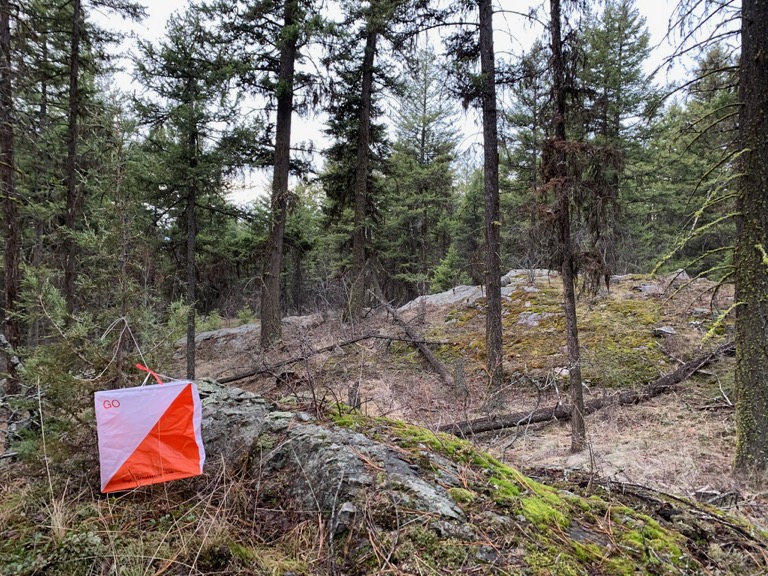
The start control for both courses is at the base of the large cliff in the open forest just north of the entrance area. We placed it there to keep it tucked out of the way and untouched by other users who may gather in the area.
By popular request from last autumn, each control has the control code written on a strip of flagging tape attached to it. You can use this code to verify that you have found the correct control. If your printed map is black and white, you can carry a cell phone with the pdf on it to check the map in colour if you need it, which can be helpful to identify features such as vegetation, clearings and streams.
- Beginner: 2km course (measured in a straight line) that is family friendly and stays mostly on trails but has some short off-trail travel. There are several options to cut the course shorter.
- Advanced: 3.5km course (measured in a straight line) that is technically challenging with significant off-trail travel and detailed navigation in beautiful forest. There is significant rocky terrain in places so follow the general guidance to walk or run carefully. There are many options to cut the course shorter. If you'd like a longer excursion, consider doing the beginner course afterwards to add some distance (ask for both maps in your registration email).
Registration System
Send an email to xnavor@gmail.com. Specify who is going from your family, and make sure they are all Sage Orienteering Club members. No membership=No Map (see further down on how to register). Maps will be sent out individually one by one by a singular volunteer, so expect an up to 24 hour delay to receive your map. We will also be rationing maps (only a certain number each day) to prevent any possible overload of the area - so don't wait until the last possible day please.
Locations
We are choosing training location very carefully to be locations that tend to have low public use to maximize social distancing, but are relatively close to the city to minimize travel. We will be on forested maps exclusively, and not using any of the park maps in the city that are already over-crowded. We have some new maps in the works, but will also be returning to some previously used ones.
Precautions
- Please stay home if you have any symptoms of illness.
- Only participate in orienteering activities with individuals from your immediate household.
- Stay at least 2 metres away from all other park/wilderness users and do not congregate at the trailheads or control sites.
- Do not touch the control(checkpoint) flags – just get within 5m or so.
- Walk/run with extreme caution to avoid any injuries.
- It is tick season! Check yourself when you're done and when you get home.
Cost
These trainings are being offered as a free mental health service to all Sage Orienteering Club members. Now is a great time to go for a run by yourself or in a very small group in the beautiful Okanagan nature.
How it Works
- If you have not yet done so, register your Sage Orienteering Club membership online on Zone4. Payment and waiver are both online on Zone4 this year.
- Register for the course of your choice and let us know how many of you are going. Send an email to xnavor@gmail.com We will email you a map individually.
- Run the course whenever you want during the times when the event is open. If you are interested in comparing results & routes with others, record a GPS track on your smartwatch or phone.
- (Optional) Upload a .gpx file (you can export this from Strava,
Garmin Connect, Attackpoint, and many others) to our website which will calculate your split
times. We will also then overlay all the GPS tracks onto the map
together so you can compare routechoices with others. We might not be
able to gather socially, but we can still talk about our routechoices
digitally. If you do not have a dedicated GPS unit, you can use your phone using free apps such as these:
- Android: GPS Logger
- Apple: myTracks - The GPS-Logger
How You Can Help
These events are running entirely on volunteer manpower. We would love some help if you would be willing to pick up controls at a specified times at the end of each event, and handing them on to the next volunteer who will put them out.