
Thunder Mountain Map information
Statistics
| Scale | 1:15,000 |
|---|---|
| Map standard | ISOM2017 |
| Events on map | 1 |
Notes
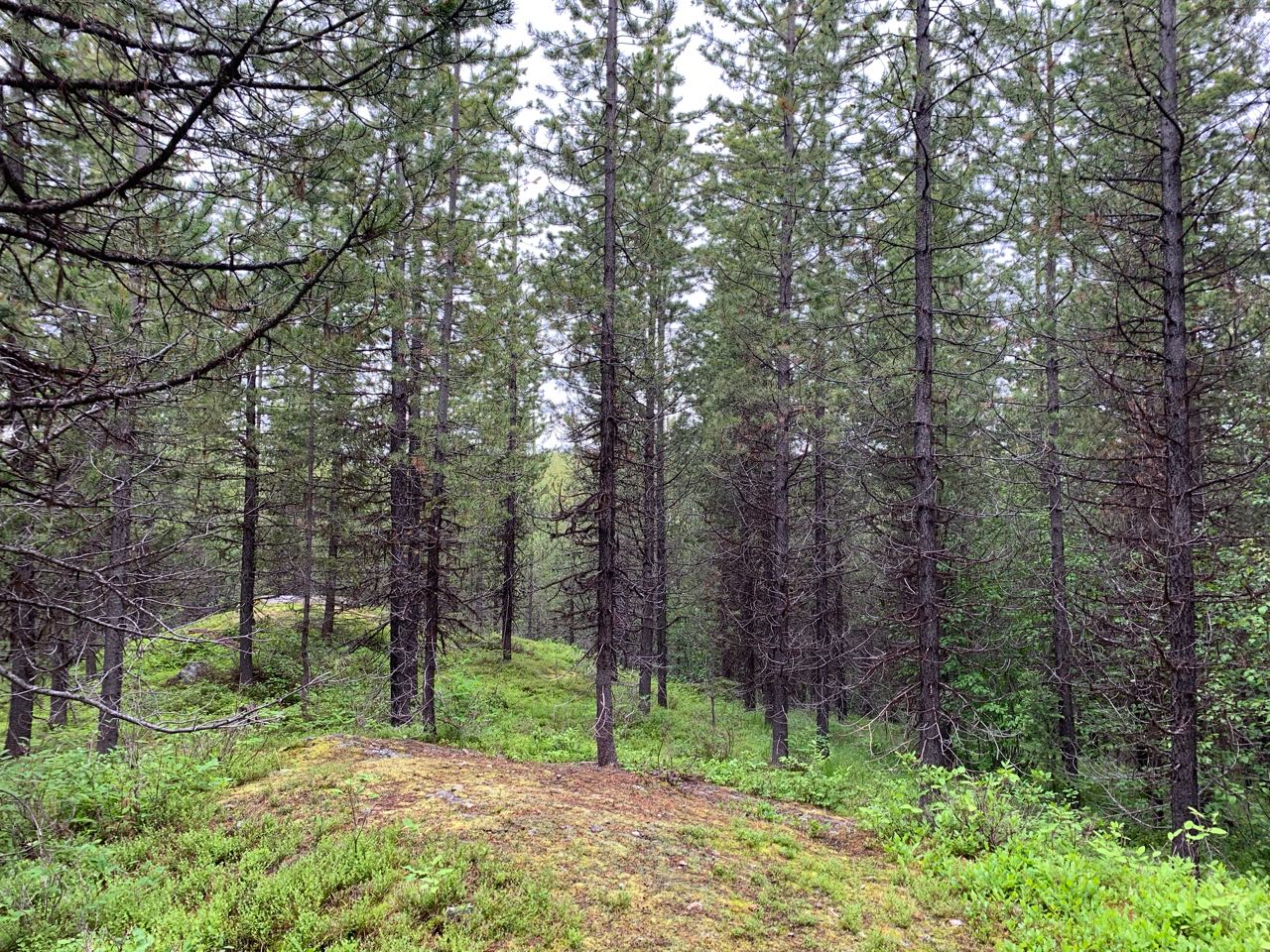
5m Contours; 1:15000 map file. No map layout setup.
PRODUCTION AND REVISIONS:
Created in 2021-2022 by Bryan Chubb. Originally created in OCAD 11 (guessing on the number), converted to Open Orienteering Mapper 0.9.5 file by David Bakker.
LAND OWNERSHIP:
Entirely crown land, but within the Kelowna Nordic Recreation Site - so Rec. Sites and Trails BC (Vernon Office) is relevant permitting office for large events.
Kelowna Nordic is main stakeholder in the area.
DATA AGREEMENTS:
Province of BC Open Data Licence (for LiDAR). Some LiDAR also purchased from Eagle Mapping for this project.
MAJOR EVENTS:
WCOC/BCOC 2022.
SAFETY BEARING:
Safety Bearing: East to Highway 33
CELL PHONE COVERAGE:
- Telus/Koodoo/Public Mobile/Bell/Virgin - Poor (only small sections on certain sides of hills (including Highway 33 parking lot) have service)
- Rogers - Not Tested
UNIQUE SAFETY CONCERNS:
- A Couple of Tall Cliffs that pose a safety hazard
- Wildlife: Bears, Moose, etc.
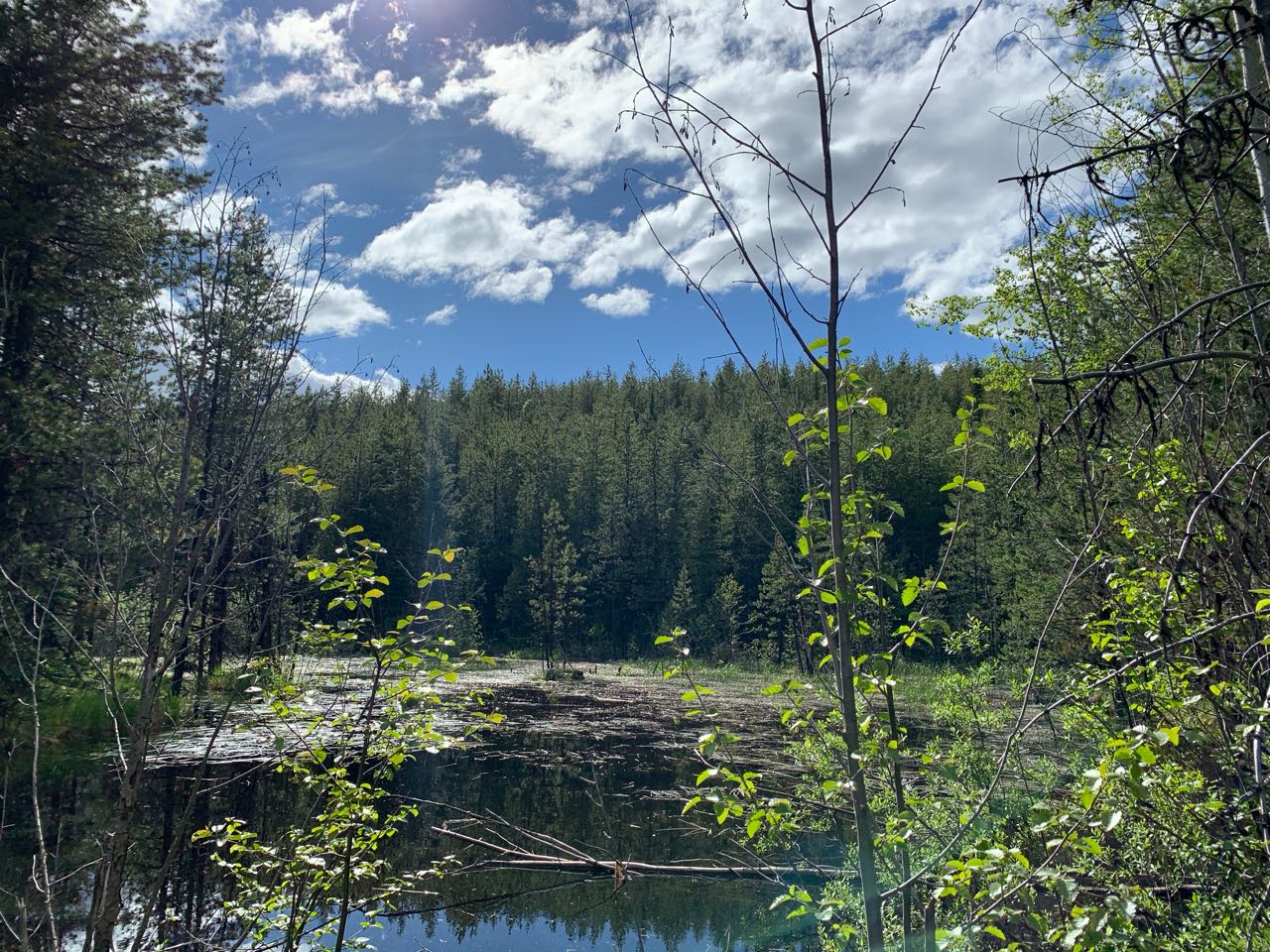
- Large Marshes
EMERGENCY INFORMATION:
- Nearest Hospital: Kelowna General Hospital (~35 minute drive)
- Central Okanagan Search And Rescue (COSAR): Call 911
- RCMP: Call 911
FINISH/PARKING CO-ORDINATES:
No usual start/finish picked yet.

Map image
Events on this map
| Series | Date |
|---|---|
| Big Junction (OK) | Jun 23, 2020 |