
Black Knight Takes White Tower Map information
Statistics
| Scale | 1:10,000 |
|---|---|
| Map standard | ISOM2017 |
| Events on map | 1 |
Notes
NOTE: Majority of this park is currently closed to all use (as of August 2020), so is currently not suitable for orienteering.
1:10,000 (mapped at 1:15000); 5m contours
PRODUCTION AND REVISIONS:
David Bakker (2020) in Open Orienteering Mapper 0.9.2. ISOM2017-V2.
Contours hand traced from City of Kelowna (LiDAR based pre-processed 1m contours) and Central Okanagan Regional District (LiDAR based pre-processed 2m contours).
LAND OWNERS:
Central Okanagan Regional District Park (half within City of Kelowna jurisdiction, upper half in Central Okanagan Regional District). Need to get permission from RDCO Parks department for events.
DATA AGREEMENTS:
- Kelowna Open Government Licence - We are require to print the text "Contains information licensed under the Open Government Licence –City of Kelowna." on the map.
MAJOR EVENTS:
None.
SAFETY BEARING:
Safety Bearing: West (Downhill) to Barbed Wire Fence.
CELL PHONE COVERAGE:
- Telus/Koodoo/Public Mobile/Bell/Virgin - Excellent (entire map multiple bars)
- Rogers - Not Tested
UNIQUE SAFETY CONCERNS:
- Tall Cliffs
- Bears
- Limited Cacti (one observed spot only)
- Barbed Wire Fences (some ruined through middle of map)
EMERGENCY INFORMATION:
- Nearest Hospital: Kelowna General Hospital
- Central Okanagan Search And Rescue: Call 911
- RCMP: Call 911
START/PARKING CO-ORDINATES:
Swainson Road Trailhead: 49.888515°N -119.345235°W
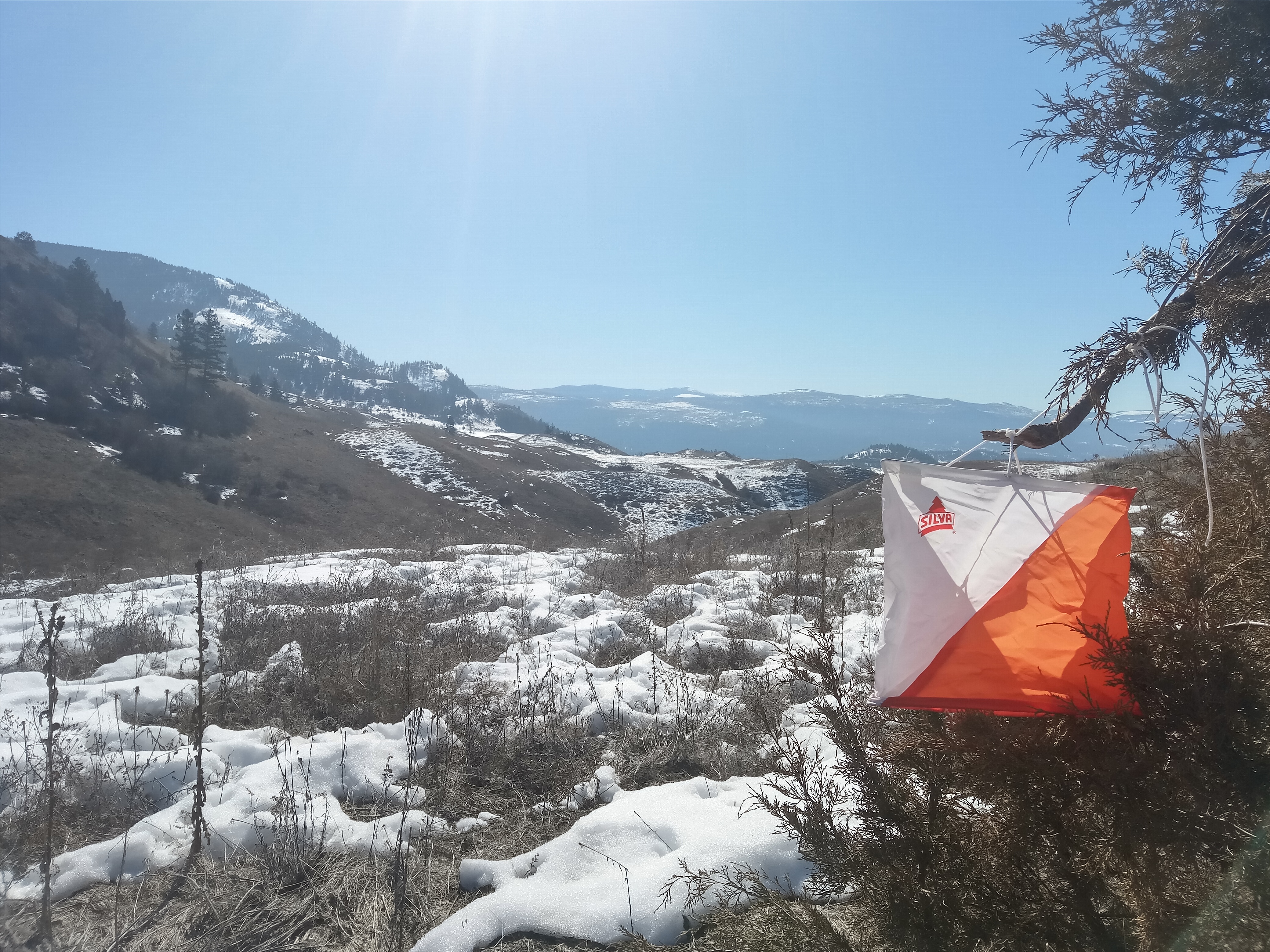
PICTURE TAKEN BY SAGE ON MAP:
Map image
Events on this map
| Series | Date |
|---|---|
| Black Knight - Get Outside Training (OK) | Mar 28, 2020 |