
Valleyview Sprint Map Map information
Statistics
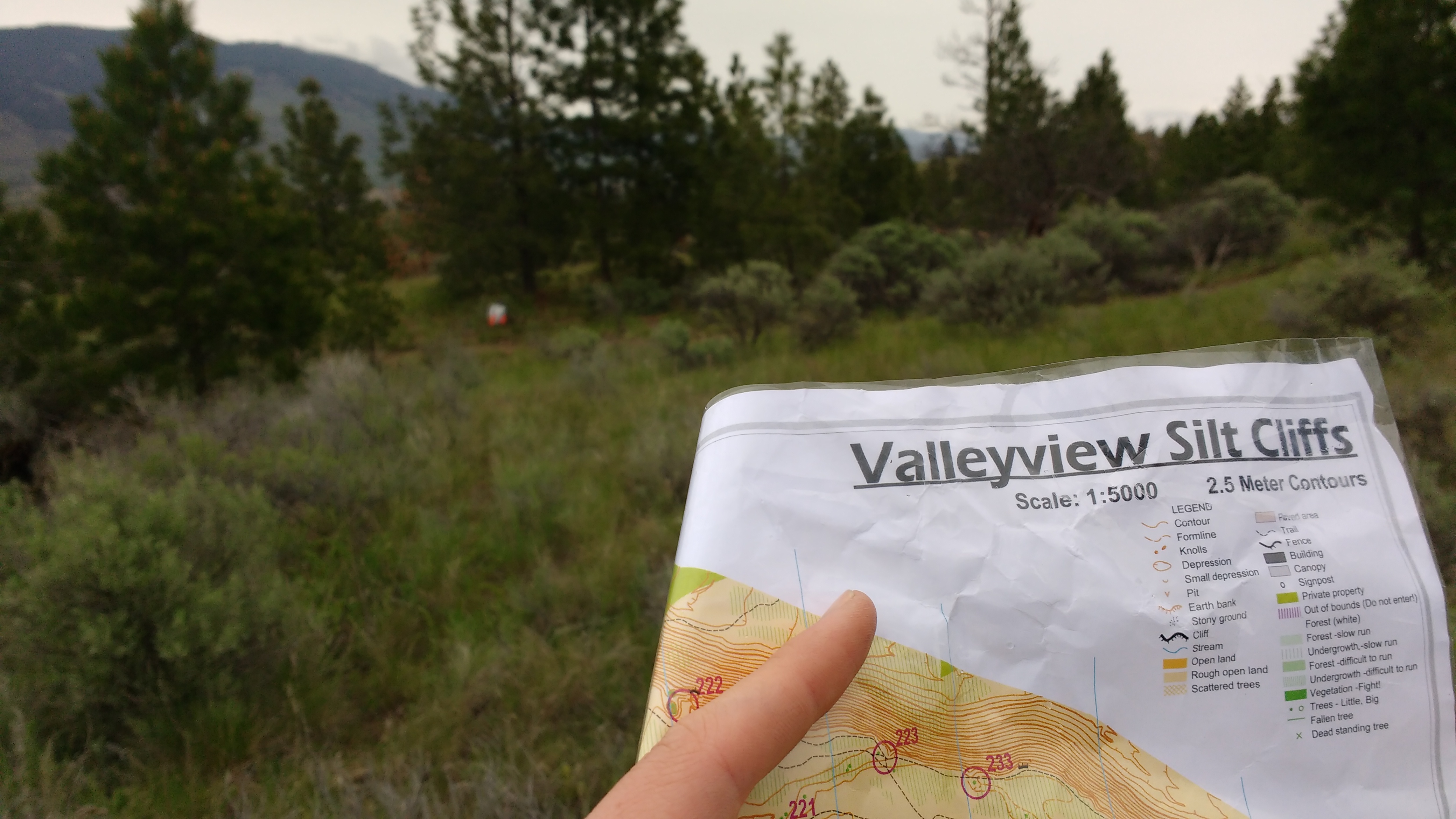
| Scale | 1:5,000 |
|---|---|
| Map standard | ISSprOM |
| Events on map | 5 |
Notes
1:4,000; 2.5 m contours
PRODUCTION AND REVISIONS:
base map City of Kamloops orthophotos and Bryan Chubb 2013; field work by Alan Vyse and Brian May; cartography by Bryan Chubb and Brian May 2014, Revision David Bakker 2017 with Conversion to OOM
Multiple download files, so Download Link goes to a folder instead of a direct file:
- original 2014 map as ocad file
- 2017 Updates as OOMapper file
- 2017 Layout File (uses map as template and requires both 2017 downloads
LAND OWNERS:
City of Kamloops, Valleyview nature Park; Kamloops Bike Park; permission required for major events esepciailly if wish to use Bike Ranch;
DATA AGREEMENTS:
None
MAJOR EVENTS:
WCOC 2014;
SAFETY BEARING:
Safety Bearing: West to Highland Road.
CELL PHONE COVERAGE:
- Telus/Koodoo/Public Mobile/Bell/Virgin - Excellent
- Rogers - Not Tested
UNIQUE SAFETY CONCERNS:
- Vehicle Traffic
- Fast Mountain Bike Traffic on Bike Ranch Portion
EMERGENCY INFORMATION:
- Nearest Hospital: Royal Inland Hospital (Kamloops) ~ 10 minutes
- Kamloops Search and Rescue: Call 911
- RCMP: Call 911
FINISH/PARKING CO-ORDINATES:
- Outside Valleyview Arena: 50.672331, -120.261956
Map image
Events on this map
| Series | Date |
|---|---|
| Valleyview - Learn to Orienteer (Week 1) (Kam) | May 3, 2017 |
| Valleyview - Intro to Orienteering (Kam) | May 16, 2018 |
| Valleyview (Kam) | May 9, 2021 |
| Run, Play and Don't Get Lost (Kam) | Jun 3, 2022 |
| Run, Play and Don't Get Lost (Kam) | Nov 11, 2022 |