
Valleyview Map information
Statistics
| Scale | 1:10,000 |
|---|---|
| Map standard | ISOM2000 |
| Events on map | 5 |
Notes
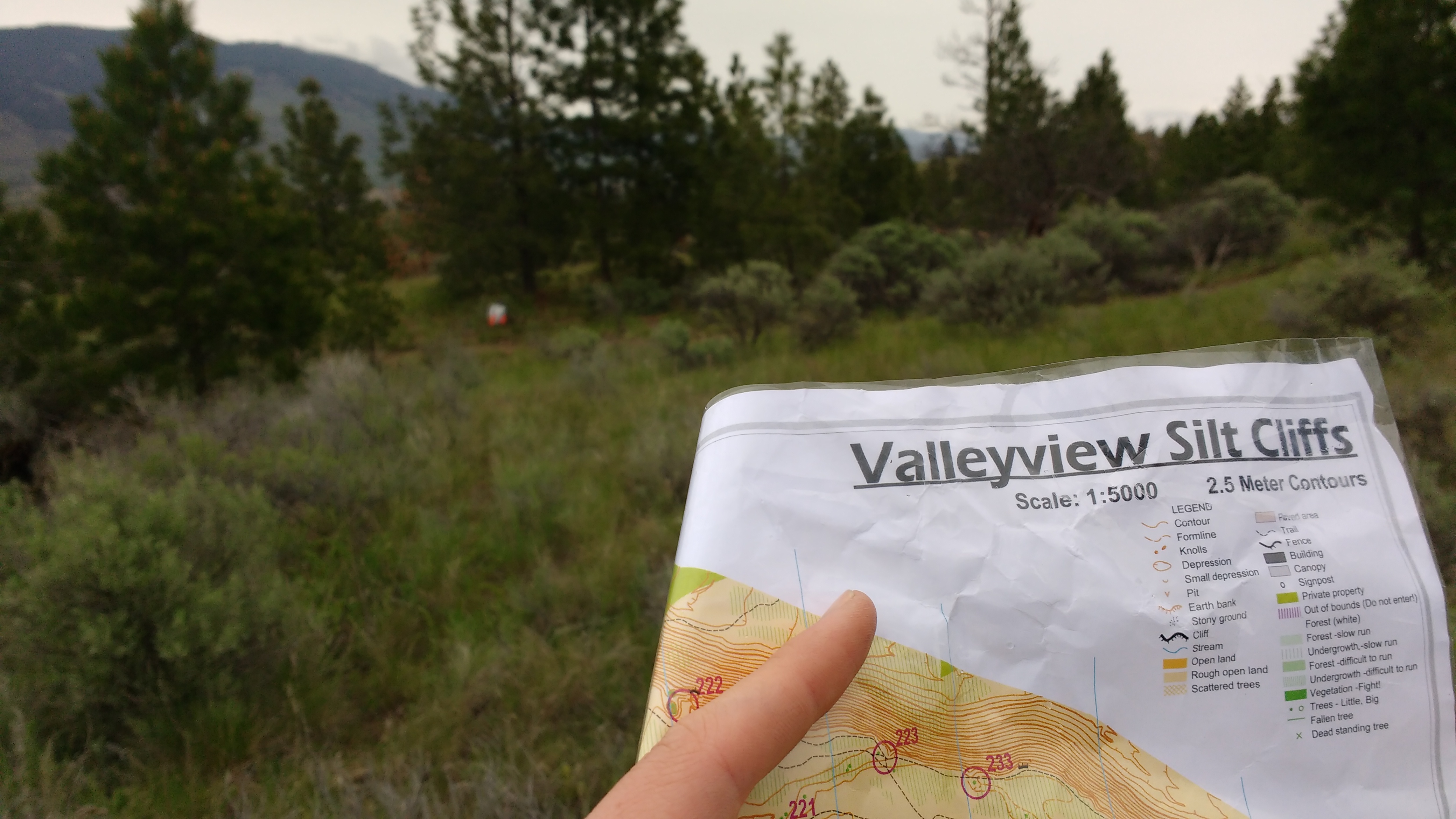
This is the 1:10000 ISOM map. Also available for much of the same area is the Valleyview Sprint Map, to the ISSOM standard at 1:5000.
------------------------------
1:10,000: 5m contours
PRODUCTION AND REVISIONS:
Pardoe and Alan Philip, with minor updates by A. Vyse (2010, 2014), A.
May, B. May (2011) and major update by David Bakker in 2017 including
conversion to Open Orienteering Mapper.
Major updates in 2017 to all trails, vegetation, and nearby
subdivisions on the edge of the map. No changes to contours whatsoever.
Black pits vs. depressions could use some work, but would require a
fair bit of fieldwork.
LAND OWNERS:
City of Kamloops, Valleyview nature Park; Kamloops Bike Park; permission required for major events
Private Land around outer edge of map, as well as private parcel in the middle marked with OOB Purple in map file.
DATA AGREEMENTS:
None
MAJOR EVENTS:
None
SAFETY BEARING:
Safety Bearing: West to Highland Road.
CELL PHONE COVERAGE:
- Telus/Koodoo/Public Mobile/Bell/Virgin - Excellent
- Rogers - Not Tested
UNIQUE SAFETY CONCERNS:
- Vehicle Traffic
- Fast Mountain Bike Traffic on Bike Ranch Portion
EMERGENCY INFORMATION:
- Nearest Hospital: Royal Inland Hospital (Kamloops) ~ 10 minutes
- Kamloops Search and Rescue: Call 911
- RCMP: Call 911
FINISH/PARKING CO-ORDINATES:
- Outside Valleyview Arena: 50.672331, -120.261956
Map image
Events on this map
| Series | Date |
|---|---|
| Valleyview (Kam) | Apr 9, 2017 |
| Valleyview Adventure Run (Kam) | Jun 14, 2017 |
| Valleyview (Kam) | Apr 8, 2018 |
| Valleyview - Rescheduled (Kam) | Apr 14, 2019 |
| Valleyview (Kam) | Jun 10, 2020 |