
Thompson Rivers University Map information
Statistics
| Scale | 1:4,000 |
|---|---|
| Map standard | ISSprOM |
| Events on map | 2 |
Notes
1:4,000; 2m contours
PRODUCTION AND REVISIONS:
base map City of Kamloops and TRU; field work and cartography Bryan Chubb 2006-2007; revised by Jacquie Bonn 2014, and David Bakker in 2017.
LAND OWNERS:
TRU
DATA AGREEMENTS:
None
MAJOR EVENTS:
WCOC 2007; North American O Festival 2010;
SAFETY BEARING:
Safety Bearing: North to Road
CELL PHONE COVERAGE:
- Telus/Koodoo/Public Mobile/Bell/Virgin - Excellent
- Rogers - Not Tested
UNIQUE SAFETY CONCERNS:
- Vehicle Traffic
- One Large Cliff on West side of map, but courses should never use the hilltop so not a major concern
EMERGENCY INFORMATION:
- Nearest Hospital: Royal Inland Hospital (Kamloops) ~ 5 minutes.
- Kamloops Search and Rescue: Call 911
- RCMP: Call 911
FINISH/PARKING CO-ORDINATES:
- Various - Lots of good parking lot options.
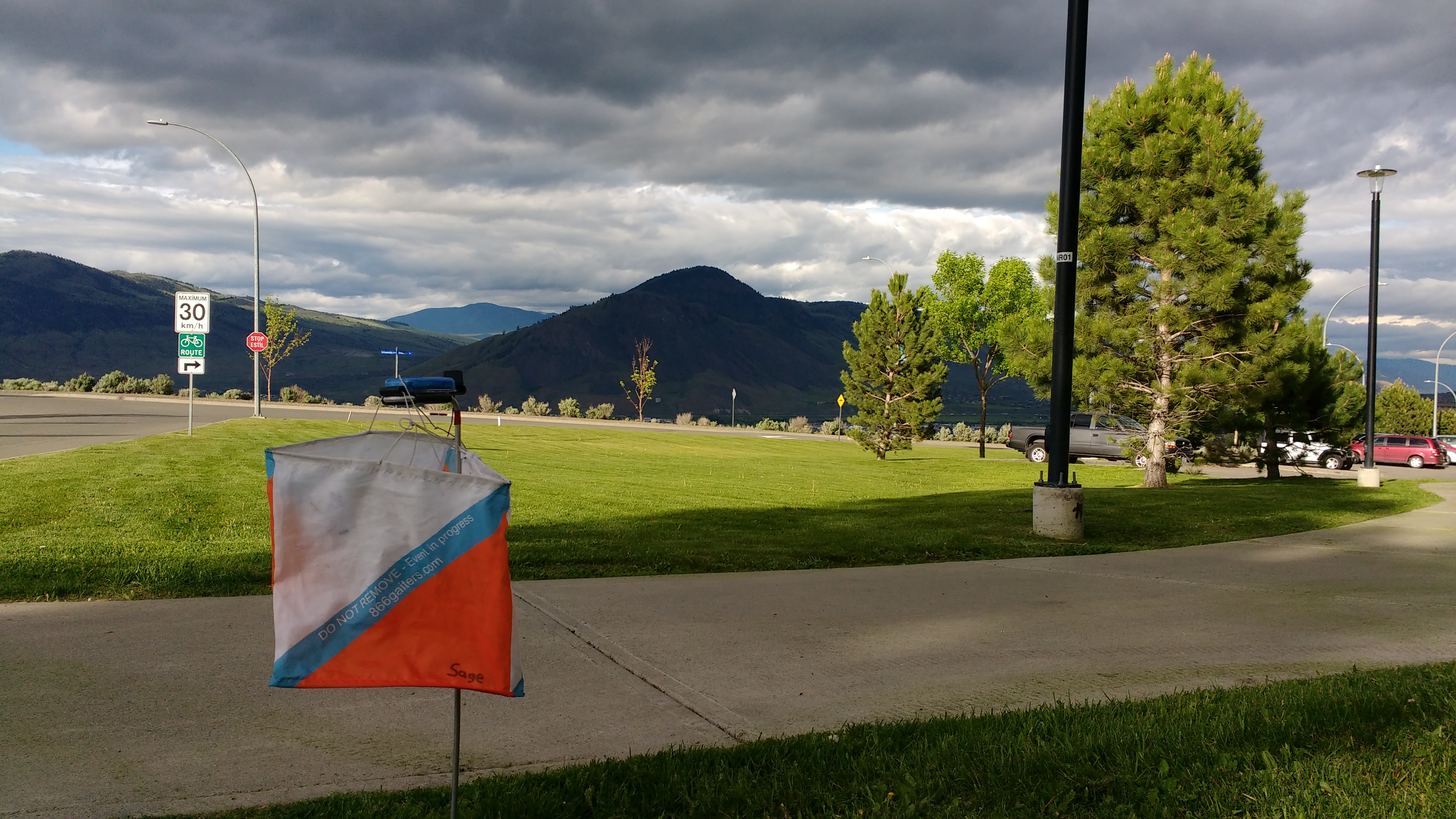
Map image
Events on this map
| Series | Date |
|---|---|
| Thompson Rivers University (Kam) | May 24, 2017 |
| TRU (Kam) | May 23, 2018 |