
34th Sage Stomp Kamloops
May 18th 2019 9:00am - May 19th 2019 5:00am
Organizers: Alan Vyse (Controller), Jackie Bonn (Event Director)
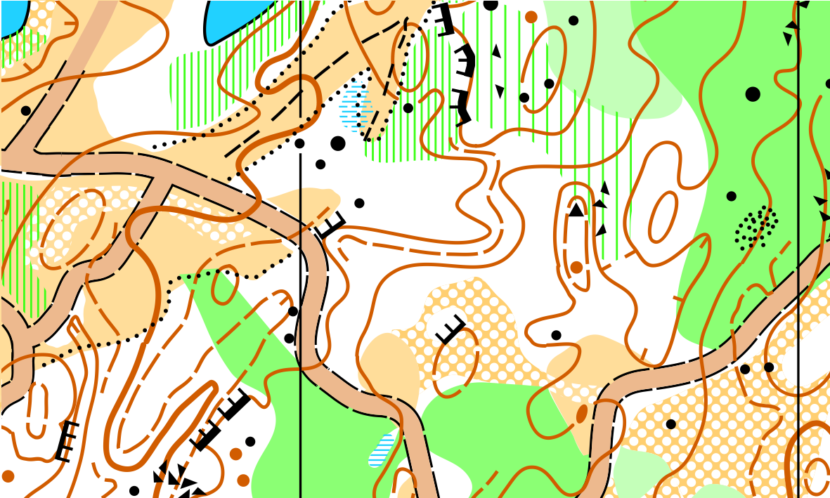
Map: Six Mile
Results
- Winsplits Sprint Results (By Class)
- Winsplits Middle Results (By Class)
- Winsplits Long Results (By Class)
- Attackpoint All Events Results (By Course)
Routegadget
You can check out the Routegadget for the event here.
Info
Join us for two great days of racing above Kamloops on the edge of the grasslands and forest. A typical sprint, middle, and long weekend with great course planners and controllers on recently updated/remapped areas.
Printable version of Event Information Here
The Course Class table indicates that Course 6 Long will use 1:7500 scale. This is not correct. The scale will be 1:10000.
People who registered for S classes (eg F21 S) are assumed to be running one class down. Talk to the organizers if this does not suit you.
Event staff
- Meet director: Jackie Bonn
- Course controller: Murray Foubister, John Rance
- Course planner: Bryan Chubb, Alan Vyse, Jackie Bonn
- Assistants: David Bakker, Brian May, Abbi May, Peter Gray
Schedule:
Saturday May 18
Registration will open at 10 am in the Stake Lake Parking lot
Sprint course
- Location: Stake Lake
- Start: First start 11 am (self start). There is a 600m walk to the start. There will be no start times assigned except for elite classes
- Courses close at 1 pm
Map: The map was produced in 1999 at 1:15,000 with revisions made in 2007 and 2008. Bryan Chubb produced a non standard sprint map for Sage Stomp XXV and we are using that for this event. The scale for the sprint map is 1:5,000 with 5m contours.
Courses: Winning times are based on 18-20 minutes.
Maximum time allowed is 60 mins on all courses
Water: Available in the arena; water will not be available on courses.
Toilets: pit toilets available near the parking
There will be a remote start for all courses. YOU MUST FOLLOW THE MARKED ROUTE TO THE START TRIANGLE.
FINISH
ALL COMPETITORS MUST REPORT TO THE FINISH
Middle Race
Registration desk for the Middle at the Six Mile Arena will open at 2pm
- Location: 6 mile map
- Start: First start 2:30 pm. There will be a 1km walk to the start.
- Courses close at 4:30 pm
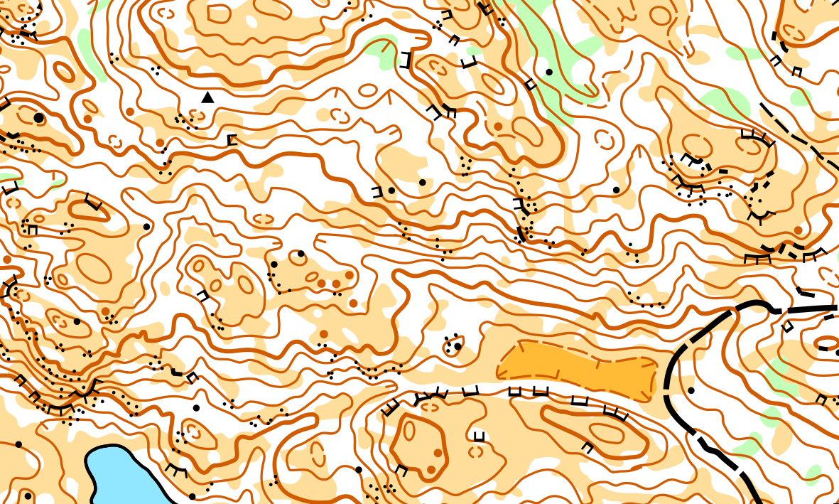
Map: The 6 mile map was first produced for the 1990 Canadian Championships and revised for the Western Canadian Championship in 2003. Bryan Chubb remapped the vegetation for this event in 2019.The scale for courses 1+2, and 5 is 1:7,500 and 1:10,000 for all other courses
Courses: Winning times will be 25 to 45 minutes depending on age class
There will be no assigned start times. There is no water on the map.
Distance to Middle Start from arena: 1.0 km on road and trail. Allow 20 minutes.
Maximum time allowed is 120 mins for all Middle courses.
ARENA
Water: Please bring lots of water but water will be available on courses.
Toilets: port-a-potties close to the arena
Distance to Middle Start from arena: 1.0 km on road and trail. Allow 20 minutes.
Distance to Long Start from arena: 1.8 km on road and trail. Allow 40 minutes.
START
There will be a remote start for all courses. YOU MUST FOLLOW THE MARKED ROUTE TO THE START TRIANGLE.
FINISH
ALL COMPETITORS MUST REPORT TO THE FINISH
PARKING
Park along the edge of the road near the arena. Please do not park in the arena.
Sunday, May 19:
Long Race
Registration desk for the Long at the Six Mile Arena will open at 9am
- Location: 6 Mile map
- Start: begin at 10 am
- Course closes at 2pm
There will be no assigned start times.
Distance to Long Start from arena: 1.8 km on road and trail. Allow 40 minutes.
Maximum time allowed is 180 minutes for all Long courses.
START
There will be a remote start for all courses. YOU MUST FOLLOW THE MARKED ROUTE TO THE START TRIANGLE.
FINISH
ALL COMPETITORS MUST REPORT TO THE FINISH
PARKING
Park along the edge of the road near the arena. Please do not park in the arena.
Registration:
You MUST register on-line. There will be on day registration but this is limited (you may not get the map you want)
We prefer that you pay on-line but you can send a copy of your on-line entry with a cheque in Canadian funds to: Sage Orienteering Club c/o Alan Vyse, 2646 Valleyview Drive, Kamloops, BC, V2C 4E5. Our American friends can pay in cash when they arrive if they wish. Inquiries to the meet director at: grannysmith111@gmail.com
Fees:
Early Registration Fee (Until May 5)
- Full Weekend: $55 for adults, $25 for juniors
- One Event: $20 for adults, $10 for juniors
Late Registration Fee (until May 16)
- Full Weekend: $65 for adults, $30 for juniors
- One Event: $25 for adults, $12 for juniors
On The Day Registration:
- Limited on the day registration will be available for the late registration fee
Electronic Timing:
SportIdent (SI) cards must be used, rentals are available for the price of $5 for the full weekend
Banquet: Outdoor barbecue and potluck to be held at community beach and concession stand in Savona. Burgers (vegetarian or meat will be available if desired). $5 per burger
Results:
Available on the Sage website after the event.
Accommodation:
Free camping with porta-potties is available at the event site. No picnic tables, bring your own. There is also paid camping available at several nearby BC Parks.
Savona is the nearest community. The hamlet has a school, a gas station and small store, a licensed diner (Millers Crossing) beside the gas station, a pub??, a community hall and a swimming beach and picnic area beside the hall. Savona is about 40 minutes from downtown Kamloops.
OWNERSHIP
The south half of the map is crown land managed under lease by our good friends from Indian Gardens Ranch … the Haywood-Farmer family. We thank them for their cooperation.
Kamloops has a wide variety of hotels and motels.You can inspect choices on-line at http://www.tourismkamloops.com/and http://www.hellobc.com/enCA/RegionsCities/ThompsonOkanagan.htm.
Child care:
Child care will not be available, but we can accommodate. The event director has children :)
Food:
Light refreshments will be available at the finish of the events.
The Saturday BBQ and potluck will be held in the Savona Community Picnic Shelter close to the swimming beach. Savona is about 4 km long, spread out along the railway and highway. There are two Highway 1 access points. The community hall is about 1km from the western entrance, which is also the entrance to Steelhead Provincial Park and camping area. Please bring your own plate and cutlery.
Directions:
Stake Lake Sprint event
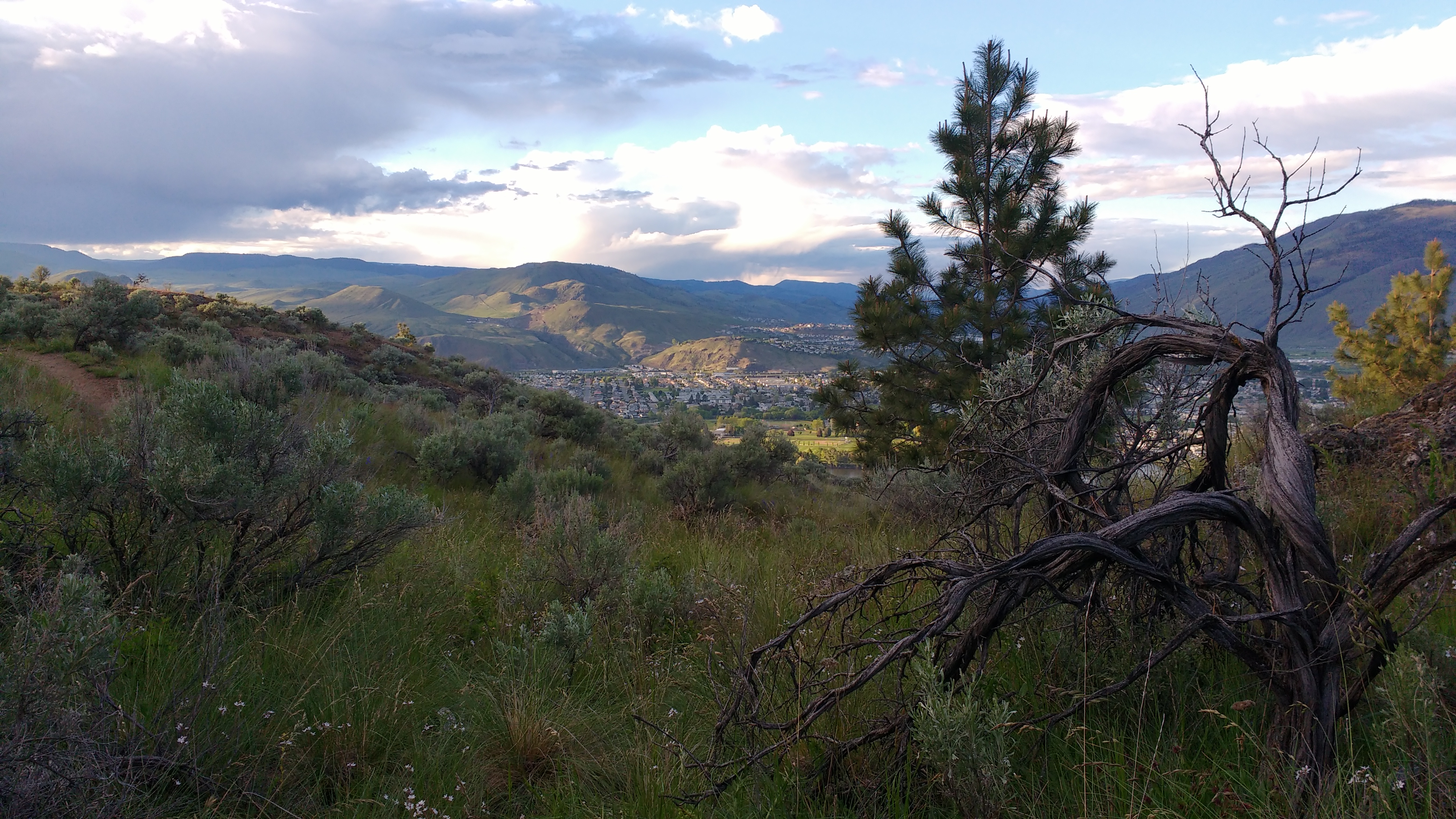
The event centre is at the Stake Lake Ski Trails 30km south of the city of Kamloops.
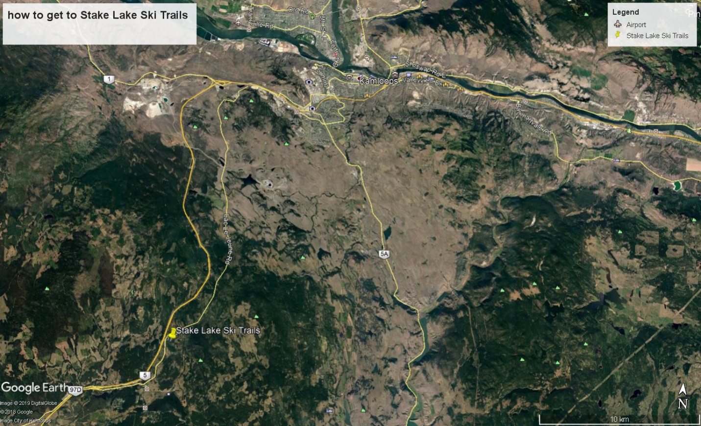
Event Location:Stake Lake Ski Trails
Directions:the trails are 25 minutes south of Kamloops on the old Logan Lake Highway, now known as the Lac le Jeune Rd. From Kamloops or Cache Creek take exit 366 on Hwy 1 and follow the Lac Le Jeune road west and south.From Vancouver, take exit 336 on the Coquihalla Highway and follow the old highway east and north for about 6 km. Parking is in the Overlander Ski Club Stake Lake Ski Trails Parking lot. There is a 600m walk to the Start and Finish.
Six Mile Hill Map Middle and Long events
Getting to the events

Directions:From Kamloops, drive on Highway 1 west 30 k towards Cache Creek; there will be a sign on the eastern outskirts of the village of Savona indicating the turn south to the map area; follow signs for approximately 5 km
.Course and Classes
|
SS34 Event |
Course |
Class |
distance km. |
climb m. |
# of controls |
time limit on course |
|
Sprint |
1 |
Beg, M10, M12, M14, F10, W12, W14 |
1.2 km |
20m |
10 |
1 hour |
|
2 |
Int., M75, M80, M85+, M80, W55, W65, W75, W80, W85+ |
1.5 km |
30m |
10 |
1 hour |
|
|
3 |
Adv., M55, M65, W45 |
1.9 km |
45m |
12 |
1 hour |
|
|
4 |
Exp., M16, W16, W20, W21, W35 |
2 km |
40m |
12 |
1 hour |
|
|
5 |
M20, M21, M35, M45 |
2.4 km |
45m |
14 |
1 hour |
Middle: | |||||||
Course | 1+2 | 3 | 4 | 5 | 6 | 7 | 8 |
Technical Difficulty | 1 | 3 | 3 | 4 | 5 | 5 | 5 |
Classes | M10, F10 | F13-14 | F15-16 | M75+ | F17-18 | M19-20 | M21 |
M11-12 | M13-14 | M15-16 | F75+ | F45+ | F19-20 | M35+ | |
F11-12 | Open 3 | Open 4 | F80+ | F55+ | F21 | ||
Open 1 | M80+ | M65+ | F35+ | ||||
F85+ | F65+ | M45+ | |||||
M85+ | M17-18 | M55+ | |||||
F90+ | Open 6 | Open 7 | |||||
M90+ | |||||||
Open 5 | |||||||
Estimated Winning Time | 20-25 | 20-25 | 25-30 | 30-35 | 30-35 | 30-35 | 30-35 |
Map Scale | 7500 | 10000 | 10000 | 7500 | 10000 | 10000 | 10000 |
Distance | 3 | 3 | 3.3 | 2.4 | 3.1 | 3.7 | 4.3 |
Climb | 30 | 75 | 150 | 75 | 90 | 130 | 170 |
Long: | |||||||
Course | 1+2 | 3 | 4 | 5 | 6 | 7 | 8 |
Technical Difficulty | 1 | 3 | 3 | 4 | 5 | 5 | 5 |
Classes | M10 F10 | F13-14 | F15-16 | M75+ | F17-18 | M17-18 | M19-20 |
| M11-12 | M13-14 | M15-16 | F75+ | F45+ | F19-20* | M21 |
| F11-12 | Open 2 | Open 3 | F80+ | F55+ | F21* | M35+ |
| Open 1 | M80+ | M65+ | F35+ | |||
| F85+ | F65+ | M45+ | ||||
| M85+ | M55+ | |||||
| F90+ | ||||||
| M90+ | ||||||
Estimated Winning Time | 30-35 | 30-35 | 50-55 | 45-50 | 50-55 | 60-70 | 80 |
Map Scale | 7500 | 10000 | 10000 | 7500 | 7500 | 10000 | 15000 |
| *15000 for F19-20, F21 | ||||||
Distance | 2.8 | 3.3 | 3.2 | 2.6 | 5.1 | 7.3 | 9.9 |
HAZARDS
Hot weather
Hot weather is a normal summer hazard in the BC interior. Water will be provided on the Long courses but competitors should take their own precautions. Make sure you are well hydrated before your start time and take water with you if you expect to be out on the course for a lengthy period of time. In the long event there will be water on the main road that traverses the site and at a few control sites. If the weather is very hot, extra water will be provided on the courses (See the hot weather tips below).
Animals
The mapper encountered deer and cows on the map. Mosquitos are likely. Rattlesnakes are highly unlikely.
Vegetation
Wildflowers are abundant in May. There is no Devil’s club or salal within 50 km of the map but there are a few prickly pear cacti on the southern rocky slopes.
Fire
The Forest Fire Hazard is High. Take great care with any possible sources of ignition if you are camping on site. We will have an evacuation plan for the event and more information will be distributed as we get closer to the event.
Vehicle traffic
Recreation traffic will be high on the roads. There may be bandit motorbikes on the trails.
HEAT ILLNESS PREVENTION CHECKLIST FOR ORIENTEERS
Heat illness (heat exhaustion, heat stroke) can strike with little warning. Susceptibility to heat illness varies according to the individual.
Risk Factors:
- History of heat illness
- History of chronic illness (even if controlled)
- Current illness (e.g. flu, sunburn)
- Heat stress index (depends on temperature and humidity)
- Fatigue
- Improper hydration (too little, wrong time)
- Poor fitness
- Young age (children have less developed defence mechanisms)
- Multi-day exposure to heat stress.
- Diet supplements such as aphedria and some antihistamines.
- A “finish at all costs” attitude.
Orienteers should take the actions necessary to keep the heat stress level with within their tolerance capabilities.
Risk Reducers:
- Hydrate numerous days before the event (starting the night before is inadequate).
- Consume proper foods by type and amount
- Get proper rest
- Replenish your fluids regularly from the water stops on course
- Acclimatize yourself to the heat/humidity at least a week before the event
- Be fit upon arrival at the event.
- Wear a head covering
- Carry and use your own fluid replenishment supply.
- Modify your pace to suit the environmental and personal conditions. Don't start if conditions are too hazardous for you.
- Rehydrate immediately after the event, that night, and the next day.
- Replenish your electrolytes after the event by drinking sport drinks and eating fruits and vegetables.
- Be aware that your susceptibility to heat illness increases as the days of exposure continue.
- On the course be conscious of your physical and mental condition. For example, if you feel `punchy' or dizzy when raising your head:
- Stop immediately
- Get under shade
Drink