
Lower Postill Map information
Statistics
| Scale | 1:15,000 |
|---|---|
| Map standard | ISOM2017 |
| Events on map | 6 |
Notes
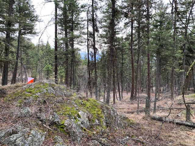
1:15000 - 5m Contours
PRODUCTION AND REVISIONS:
- Created in 2021/2022 by David Bakker in OOMapper 0.9.5. Red-drafted the sprint map to ISOM2017-2 in 2021. Fieldwork on expansion in early 2022 (and another batch in early 2024). Potential to expand map significantly further.
- Older Sprint Map Version (Not Maintained): Base map from Regional District of Central Okanagan 2014 2m Contours, produced in April 2019 (small expansion in August 2019) by David Bakker using Open Orienteering Mapper 0.8.3
DATA AGREEMENTS:
- Uses LiDAR sourced from LiDAR BC under the Open Government Licence
LAND OWNERS:
Crown provincial land. Within the Central Okanagan Regional District. Not a numbered Rec. Site, outside of the District of Lake Country, outside of City of Kelowna.
MAJOR EVENTS:
Okanagan Adventure Running Tournament II (2019) - Sprint Map Version
SAFETY BEARING:
Safety Bearing: West to Postill Lake Forest Service Road
CELL PHONE COVERAGE:
- Telus/Koodoo/Public Mobile/Bell/Virgin - Excellent (entire map multiple bars)
- Rogers - Not Tested
UNIQUE SAFETY CONCERNS:
- Large Cliffs & Canyon above Mill Creek (the creek on the southern edge of the map).
- Wildlife (possible habitat for bears and Rattlesnakes - although neither have been observed on the map).
- Motorized Off-Road Vehicles
- Unofficial, Unmonitored Shooting Range about 1km to the North-East above the mapped area (which shoots away from the map area into the hillside).
EMERGENCY INFORMATION:
- Nearest Hospital: Kelowna General Hospital (~30 minutes)
- Central Okanagan Search And Rescue: Call 911
- RCMP: Call 911
START/PARKING CO-ORDINATES:
- Lowest Part of Postill Lake Road on the map: 49.987755, -119.353115
Map image
Events on this map
| Series | Date |
|---|---|
| Lower Postill (OK) | Sep 15, 2019 |
| Postill - Get Outside Training (OK) | Apr 16, 2020 |
| Lower Postill (OK) | Sep 5, 2021 |
| Lower Postill (OK) | Apr 24, 2022 |
| Lower Postill -- CANCELLED (OK) | Nov 6, 2022 |
| Lower Postill Spring Opener (OK) | Apr 16, 2023 |